About Us
Two experts.
One mission.
We combine precision engineering and creative production to deliver professional drone services across Europe, with the highest legal and technical standards and a team with over a decade of experience.
Our Story
Over a decade of experience
SensorFlight is a Madrid-based brand operated by Tarik Kaan Muslu, born from the partnership of two professionals with complementary backgrounds: an audiovisual production specialist and a geomatics engineer. Our team has accumulated over a decade of experience developing technical and creative drone solutions for clients across Spain and Europe.
Based in Madrid, we operate throughout the European Union, adapting to each national regulatory framework and always ensuring the highest level of safety and operational quality.
We are 100 % legal operators: EASA and AESA certified, covered by civil liability insurance and in full compliance with European drone regulations (EU Regulation 2019/947).
The Team
Creativity + Engineering

Tarik Kaan Muslu
Pilot & Creative Director
11 years of experience
Visual production specialist with over a decade of drone experience. Combines artistic vision and technical precision to create high-impact aerial content for clients across Europe.
Certifications
Specialties
Geomatics Engineering
Technical Direction · Mapping, LiDAR & Thermography
11 years of experience
Our technical area is led by a geomatics engineer with an extensive track record in topographic surveys, municipal-scale orthophoto production, laser scanning and thermographic inspections. We master the full workflow: from flight plan to final data delivered in GIS, CAD or BIM formats.
Certifications
Specialties
Real Work
From flight to final data
Real deliverables from our projects: point clouds, georeferenced orthophotos, digital terrain models, 3D models and CAD-ready mapping for your software.
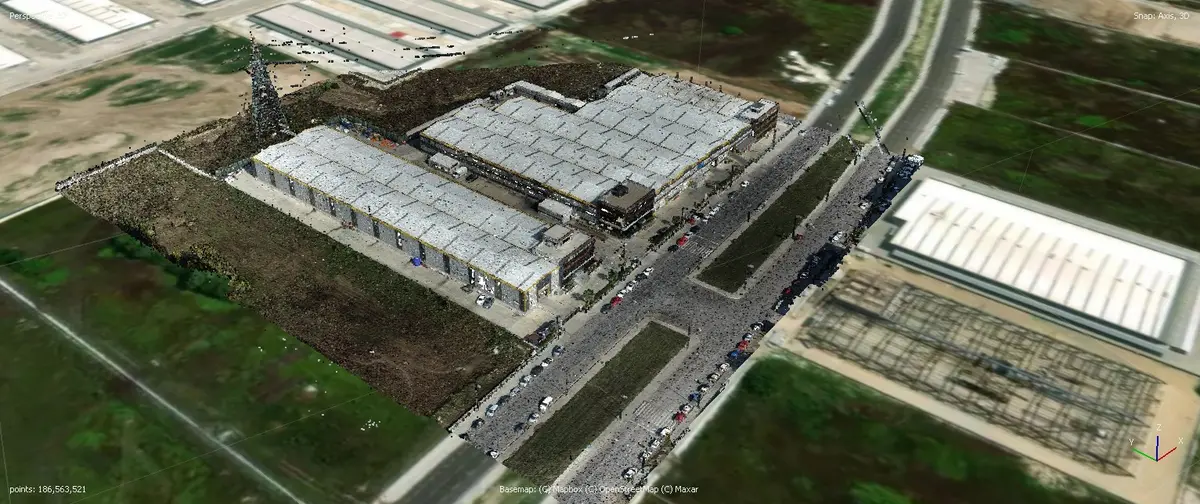
Point cloud
High-density laser scanning
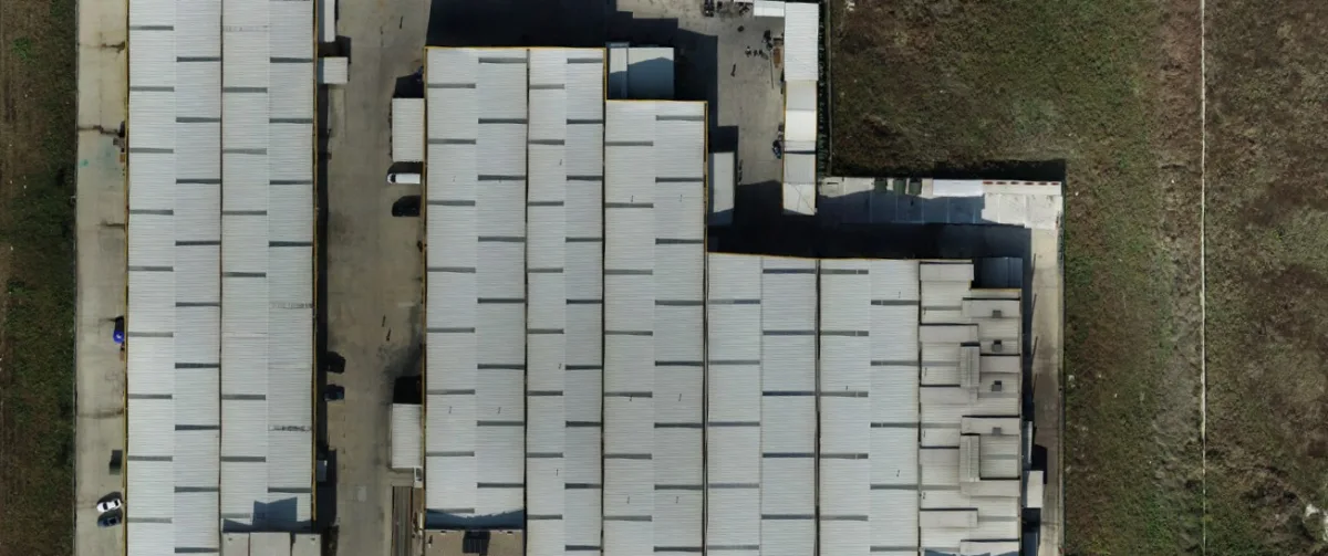
Georeferenced orthophoto
Mapping with parcel linework
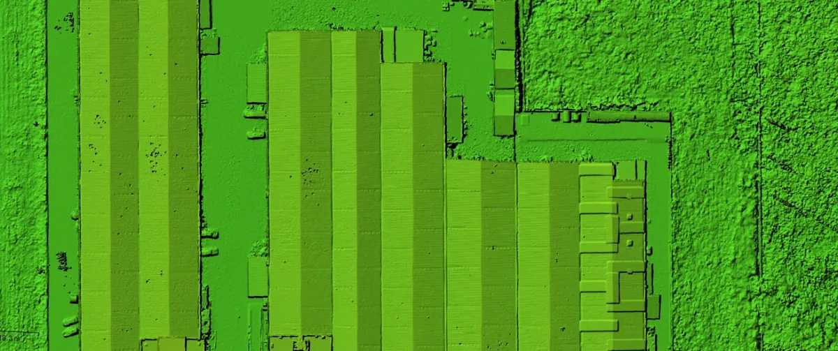
Digital terrain model
DTM/DSM with contour lines
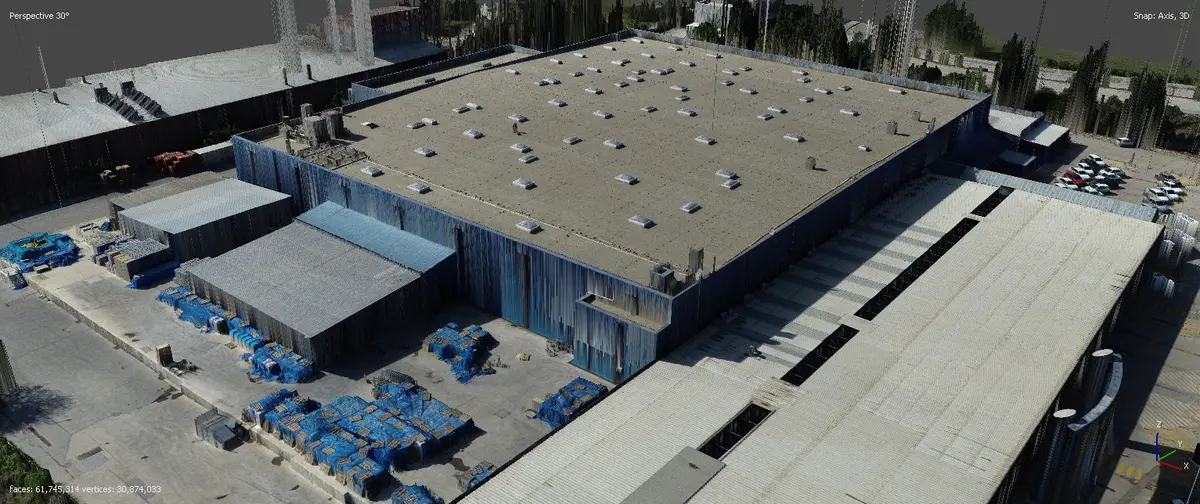
Textured 3D model
High-resolution photogrammetry
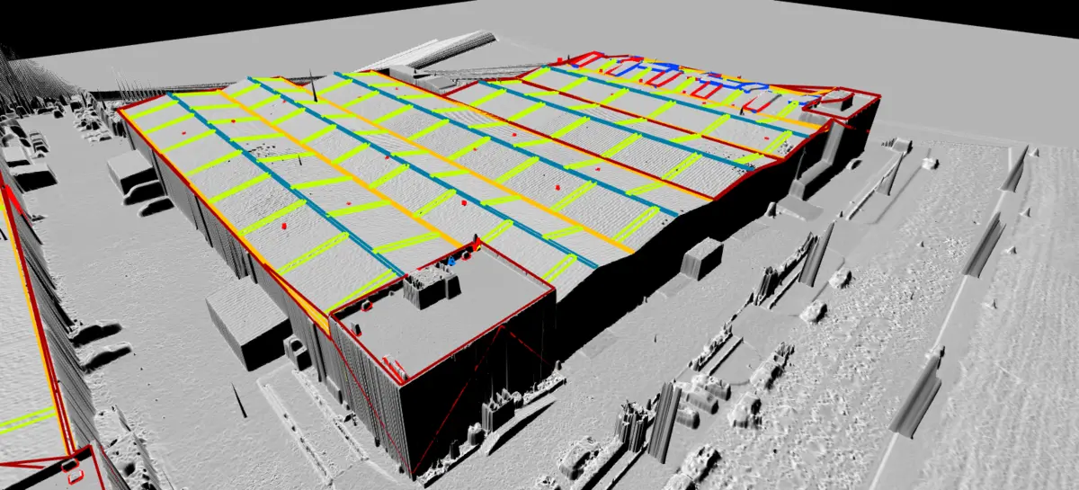
CAD mapping
Road axes and elevations over orthophoto
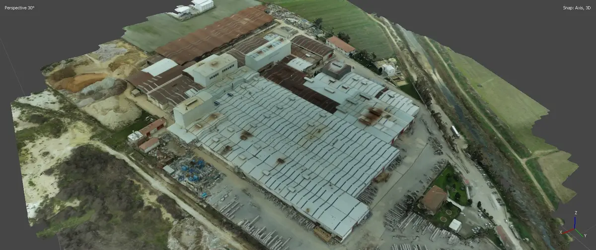
Industrial modelling
Digital twin of facilities
Certifications & Legal Compliance
We operate with full compliance
All our activity complies with EASA regulations and Spanish drone legislation. We are certified, qualified and insured operators across the EU.
EASA A1 / A2 / A3
European certification for operations across all open categories.
AESA Pilot License
Official qualification from the Spanish State Aviation Safety Agency.
Authorised Radio Operator
AESA authorisation for radio communications in aerial operations.
Civil Liability Insurance
Full coverage for all our operations in Spain and the EU.
Service Area
Madrid & all of Europe
Based in Madrid, we serve projects throughout Spain and the rest of the European Union. We know the local regulations of each country and operate with all required authorisations before every mission.