One fleet.
Multiple results.
From urban corridors to large land areas, we capture what matters — with precision and punctuality guaranteed.
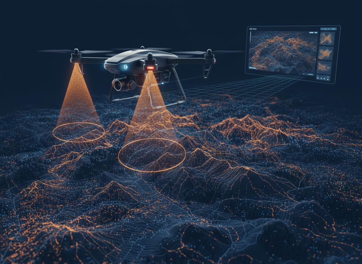
LiDAR Surveying
Dense point clouds, high-resolution orthophotos and terrain models with centimetric accuracy. Delivered in days, not weeks.
Ideal for civil engineering, urban planning, mining and forestry.
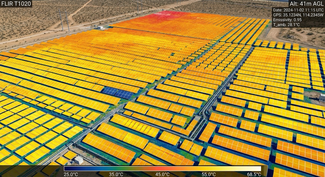
Thermal Inspection
Thermal anomaly detection in solar panels, rooftops, electrical installations and infrastructure. Identify faults before they become failures.
Includes georeferenced report per IEC 62446-3 standard.
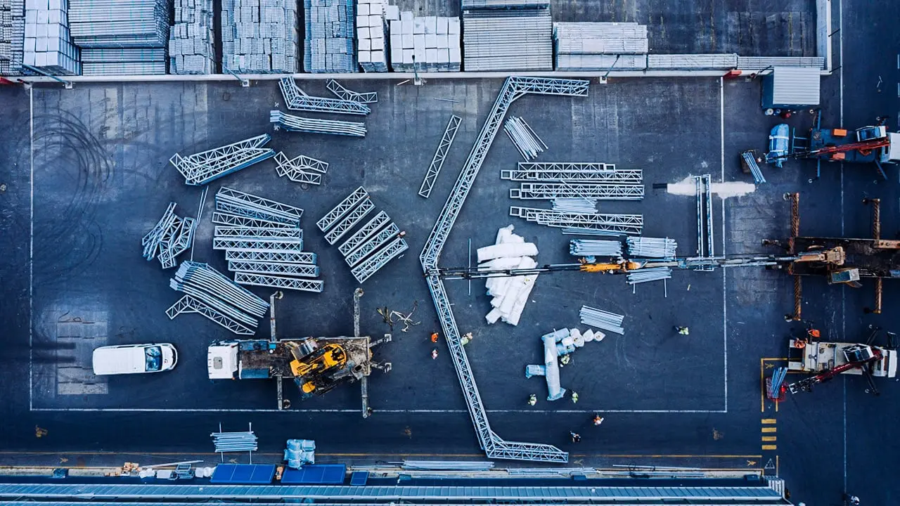
Photography & Video
Cinematic aerial content for real estate, construction, tourism and marketing. Graded and ready for delivery in 24–48 h.
4K video, RAW photos, time-lapse and social media reels.
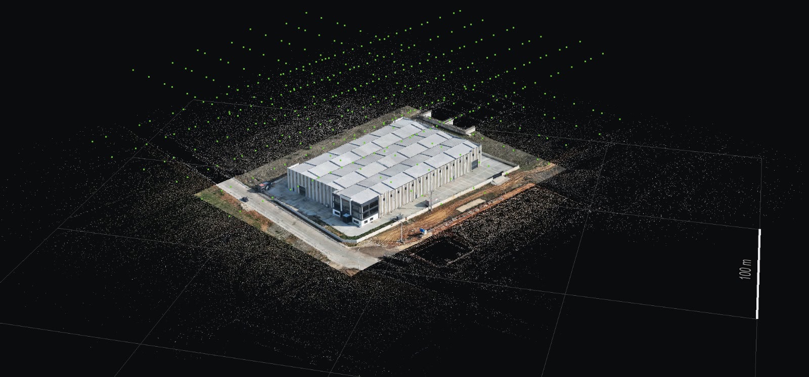
3D Rendering & BIM
3D models and BIM visualizations for architecture, engineering and construction. Preview structures with real-world context.
Export to CAD, IFC, Revit and Navisworks formats.
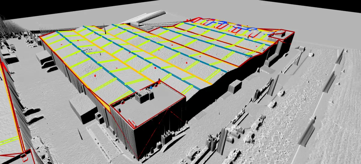
GIS & Digital Mapping
Geographic Information Systems: municipal orthophotos, road axes with elevations, cadastral integration and spatial layers ready for your platform.
Compatible with ArcGIS, QGIS and spatial databases.