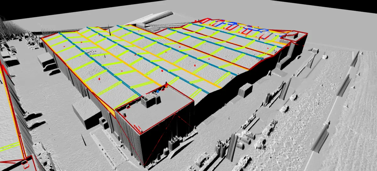
From aerial data
to decisions.
Geographic Information Systems: we capture, process and integrate spatial data so that governments and companies can make location-based decisions.
Data with geographic context
A GIS combines spatial data (coordinates, boundaries, geometries) with attribute data (population, land use, infrastructure condition). We close the full loop: from drone flight to an operational GIS layer.
Up-to-date base mapping
High-resolution georeferenced orthophotos as the base layer for urban and territorial planning.
Road axes and elevations
Extraction of street centrelines with Z elevations over orthophoto: eliminates repeated field measurements and cuts costs for administrations.
Cadastral integration
Digitisation of permit and licence records, positioning over the current orthophoto and integration into municipal management systems.
Thematic layers
Land use, vegetation, infrastructure, utility networks: layers ready for analysis in ArcGIS or QGIS.
Spatial analysis
Layer overlay, slope analysis, viewsheds and site suitability studies.
Web publishing
WMS/WFS services and web viewers so your team can consult the data from any browser.
Where we apply GIS
Local government
Municipal orthophoto, road inventory, permit management and urban planning.
Natural resources
Forestry management, water resources and environmental monitoring with drone data.
Agriculture
Parcel analysis, soil properties and irrigation needs on a cartographic base.
Emergency management
Risk zone mapping, post-event analysis and response planning.
Transport & logistics
Road network optimisation and territorial accessibility analysis.
Engineering & construction
Cartographic bases for civil works projects and integration with BIM workflows.
How we work
Capture
Photogrammetric or LiDAR flight with GNSS support for maximum positional accuracy.
Processing
Orthophoto and DTM generation plus vectorisation of features of interest.
Structuring
Organisation into layers and spatial databases according to your data model.
Delivery & integration
SHP, GeoTIFF, DWG formats or direct loading into your GIS platform.
Deliverables
- Georeferenced orthophoto (GeoTIFF)
- Vector layers (SHP / GeoJSON / GPKG)
- Road axes with elevations (DWG / DXF)
- DTM / DSM
- Spatial databases (PostGIS)
- Configured QGIS / ArcGIS project
- Web map services (WMS / WFS)
- Technical report with metadata
Need reliable spatial data?
Tell us about your project: we will propose the most efficient capture and integration workflow for your organisation.
Request a proposal