Visualize before
you build.
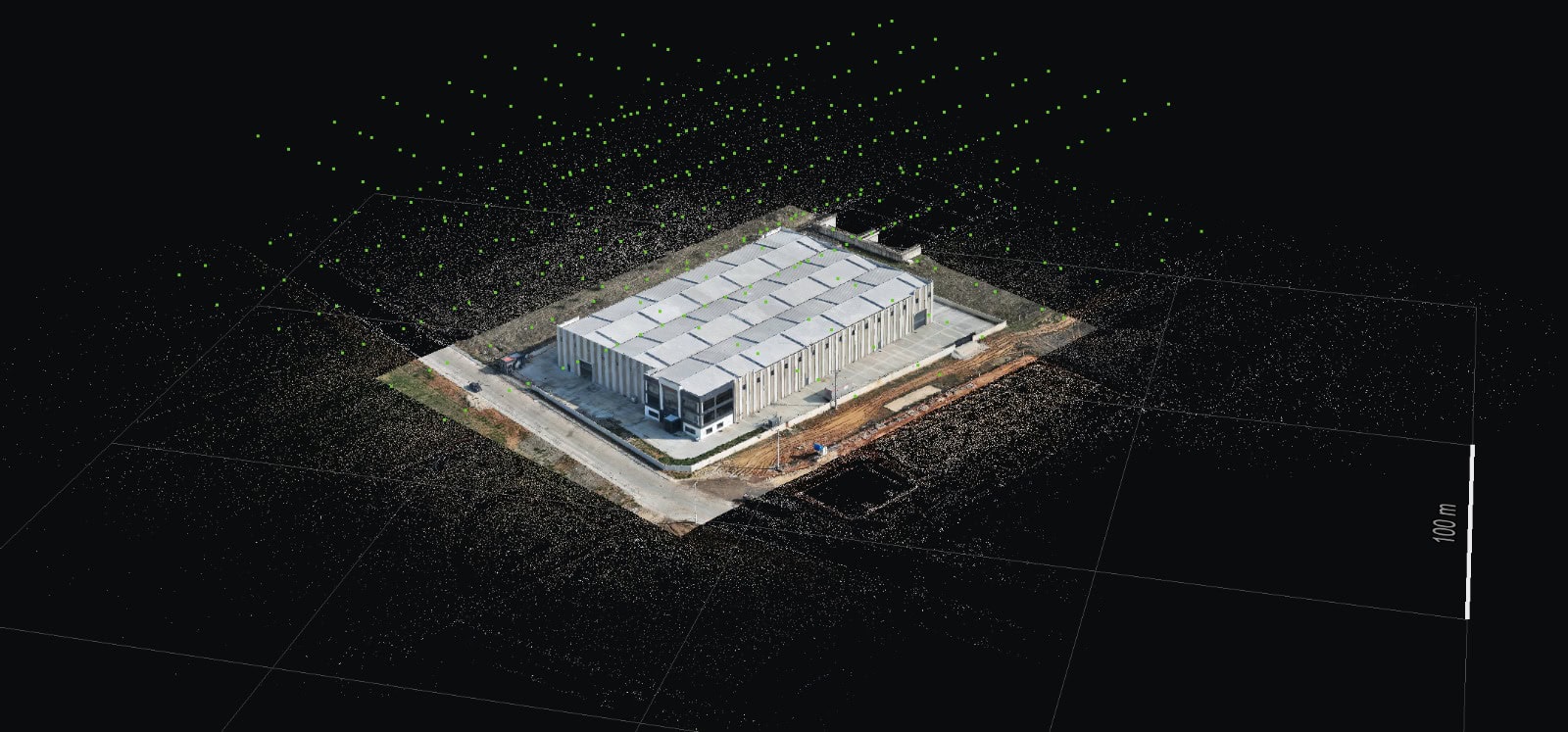
3D models and BIM visualizations generated from real flight data. Real-world context for smarter decisions in architecture, engineering and construction.
From flight to model
We combine photogrammetry and LiDAR to generate accurate, georeferenced 3D models and BIM environments ready to integrate into your workflow.
Textured 3D meshes
High-fidelity models with real texture. Ready for visualization, renders and virtual reality.
BIM models
Structures, roofs and environments in Revit, ArchiCAD or IFC. Direct integration with your project team.
Point clouds for BIM
LiDAR capture of existing buildings for retrofitting, renovation and as-built documentation.
Photo-realistic renders
Visualizations of future projects over real orthophoto. Ideal for marketing and presentations.
Virtual Reality & AR
Virtual tours of the project in a georeferenced environment for clients and developers.
Digital Twins
Integration of periodic flight data to track the actual state of infrastructure over time.
Aerial and terrestrial LiDAR
We work with both laser scanning technologies and choose the right one for each project. Terrestrial laser scanning (TLS) delivers millimetric precision on structures and architectural detail; drone LiDAR covers large areas and hard-to-reach zones in a fraction of the time.
| Feature | Terrestrial (TLS) | Drone (UAV LiDAR) |
|---|---|---|
| Accuracy | Millimetric | Centimetric |
| Coverage | Areas accessible on foot | Large areas and inaccessible zones |
| Time | Slower, manual station setups | Much faster over wide areas |
| Level of detail | Maximum structural detail | Sufficient detail at territorial scale |
| Ideal application | Facades, heritage, interiors, tunnels | Terrain, forest, linear infrastructure |
On many projects we combine both: TLS for structural detail and drone for territorial context, fused into a single point cloud.
Delivery formats
Does your project need a 3D model?
Tell us the type of structure and its intended use. We send a proposal in 24 hours.
Request a proposal