Measure right.
Build better.
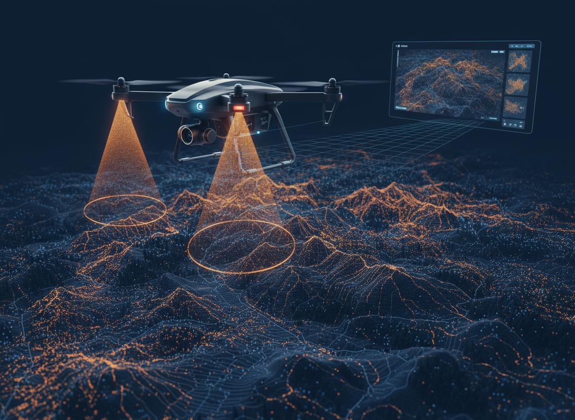
High-resolution orthophotos, dense point clouds and geodetic control — delivered in days, not weeks. Centimetric accuracy validated in the field.
Who do we work for?
Civil Engineering
Earthworks, volumetrics, construction progress monitoring and stakeout.
Urban Planning
Urban planning, land division, impact studies and administrative files.
Mining
Extraction volumes, terrain models and monthly activity tracking.
Forestry
Forest inventory, crown height, density and biomass estimation.
Agriculture
NDVI/NDWI indices, soil maps and zone irrigation management.
Heritage
3D documentation of archaeological sites, historic buildings and monuments.
How we work
Flight planning
Area analysis, GCP definition and mission design according to required accuracy.
Data capture
Photogrammetric or LiDAR flight with redundant coverage and field-validated control points.
Photogrammetric processing
Dense point cloud, DTM, DSM and orthomosaic generation in the processing room.
Quality control
Validation with independent GCPs and signature by registered surveying engineer if required.
Delivery
Files in native format and GeoTIFF/LAS ready for CAD, BIM or GIS.
Standard deliverables
Have a surveying project?
Tell us the area and required accuracy. We send you a quote in less than 24 hours.
Get a quote