What the project needed
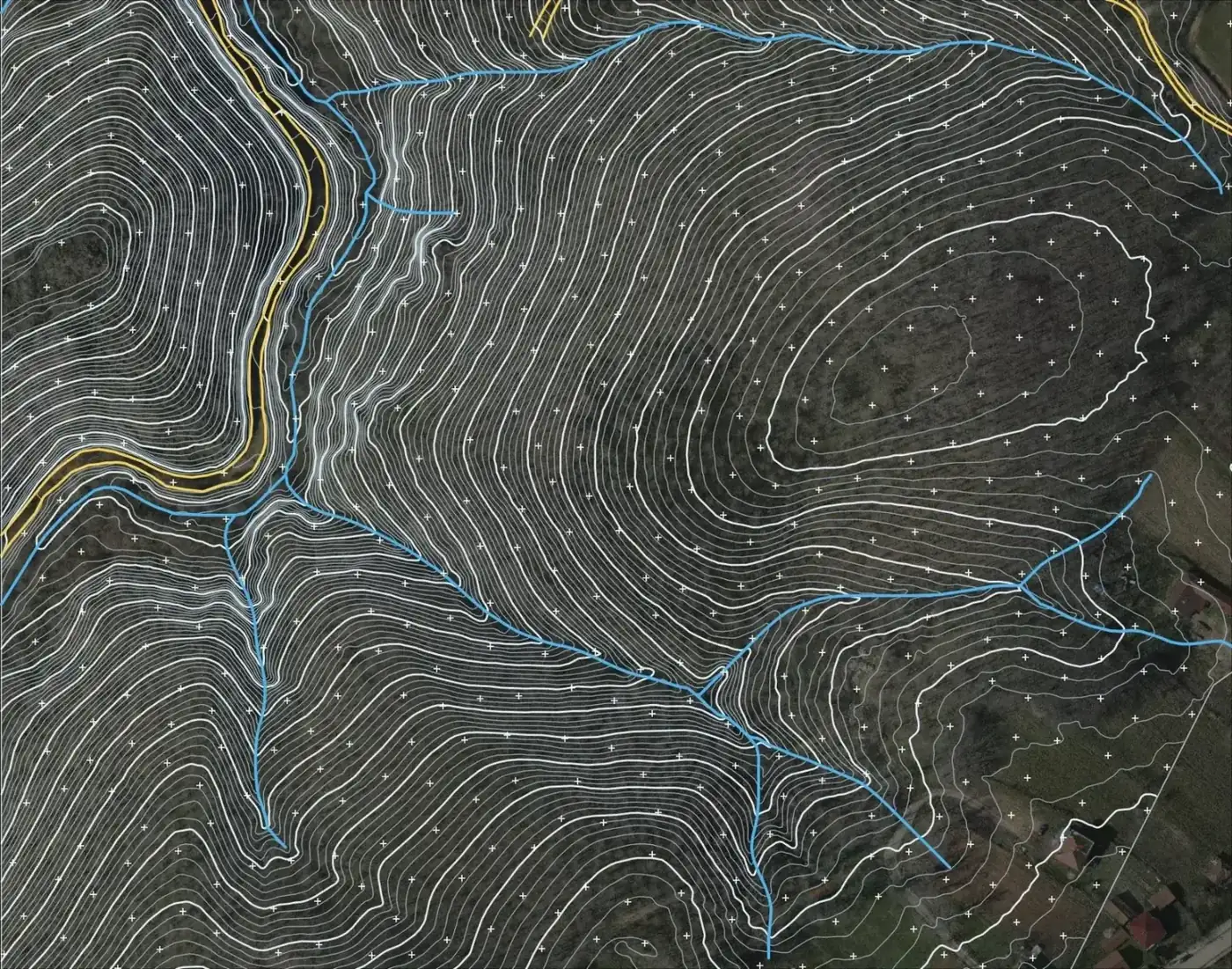
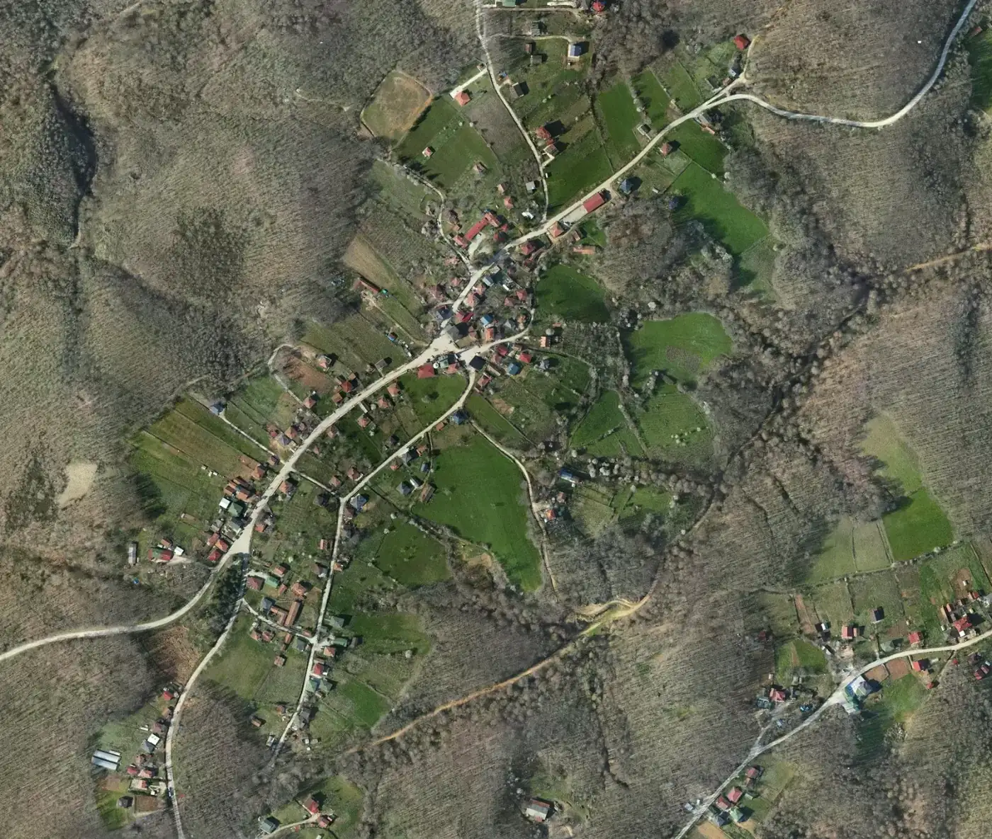
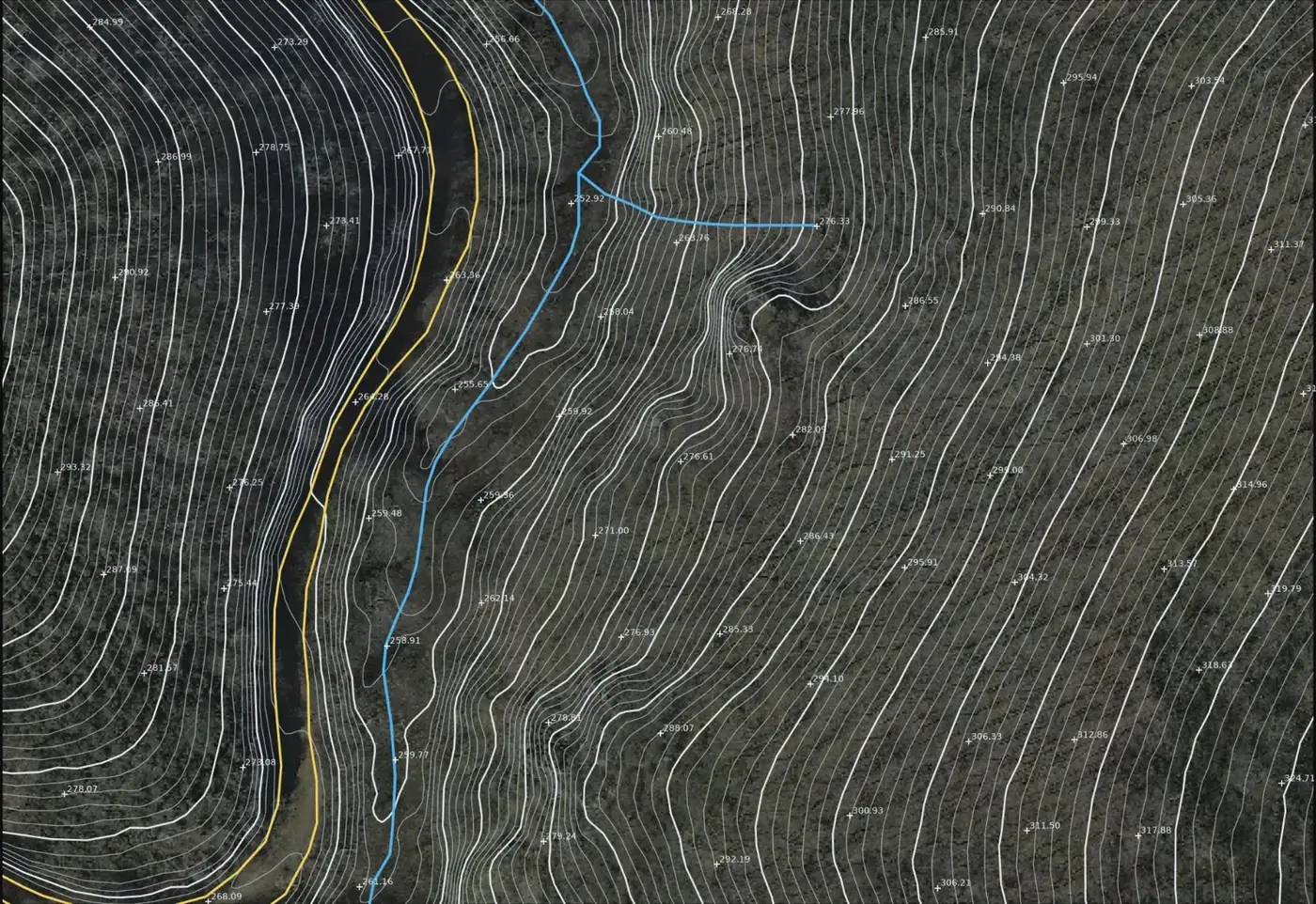
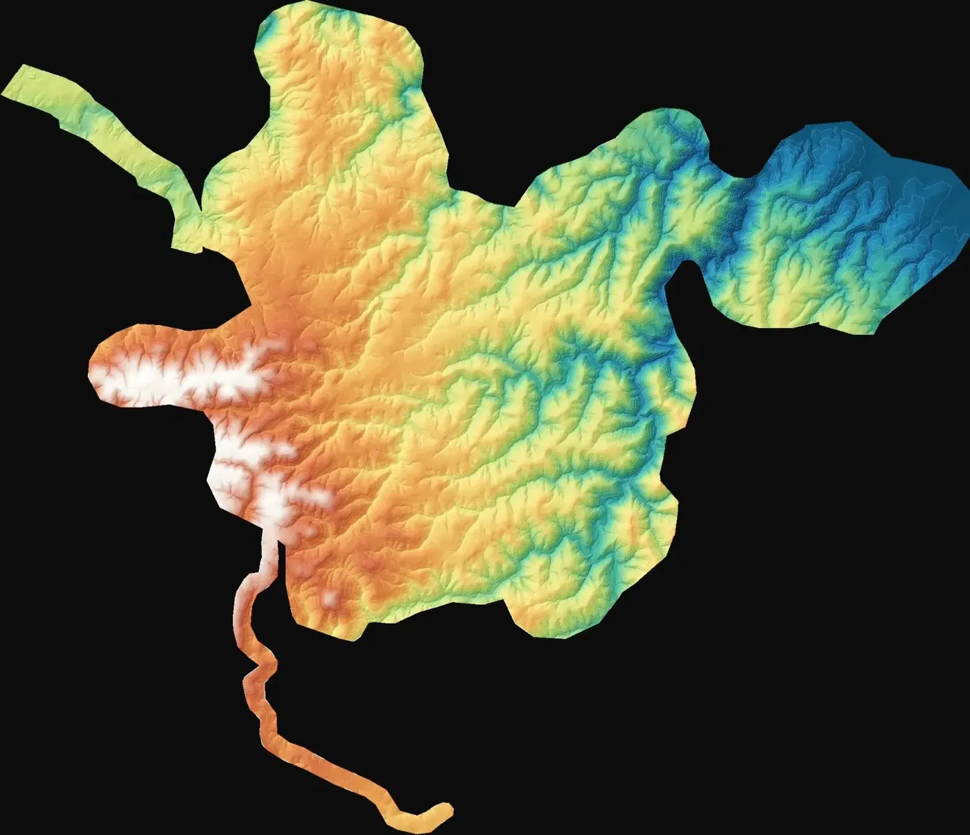
The developer had to submit base maps of three wind farm areas, both for the plant design and for the Turkish approval file known as 7/A. That defines the product: sheets at 1:1000 and 1:5000 with an orthophoto, an elevation model and contour lines, tied to a coordinate network the authority accepts.
Why photogrammetry and LiDAR in one job
At these scales, stereo restitution from imagery is still the efficient way to draw tracks, buildings and break lines, which is why a Zenmuse P1 camera was used. The Zenmuse L2 LiDAR adds what imagery cannot: ground height under scrub and trees. As a general rule photogrammetry models the visible surface while LiDAR reaches the terrain through vegetation, so pairing them closes gaps in the elevation model without walking the covered areas.
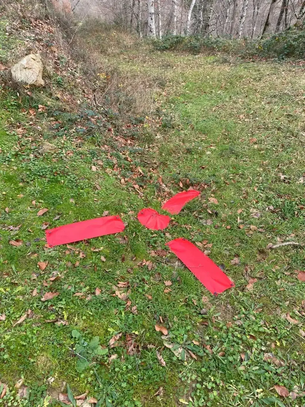
Geometry was fixed to a GNSS network of C3 grade and to control points marked with fabric targets, visible in the images and in the cloud.
What was delivered and what each file is for
A package the engineers use directly, with no reprocessing.
-
Orthophoto at 5 cm GSD
Georeferenced background for platforms, tracks and trenches.
-
Digital elevation model
Profiles, slopes and earthworks for access roads and crane pads.
-
Contour lines
Direct reading of the relief on the layout plan.
-
Map sheets at 1:1000 and 1:5000
Formal document for the approval file and the construction design.
If you have a similar project in Spain
Ask for delivery in ETRS89 and the UTM zone of your site, with the sheet scales your file requires and the orthophoto GSD stated in writing. Request the point cloud as classified LAS or LAZ and the drawing as layered DWG or DXF. To quote, we need the site polygons as KMZ or shapefile, the output scale and whether a control network already exists in the area.