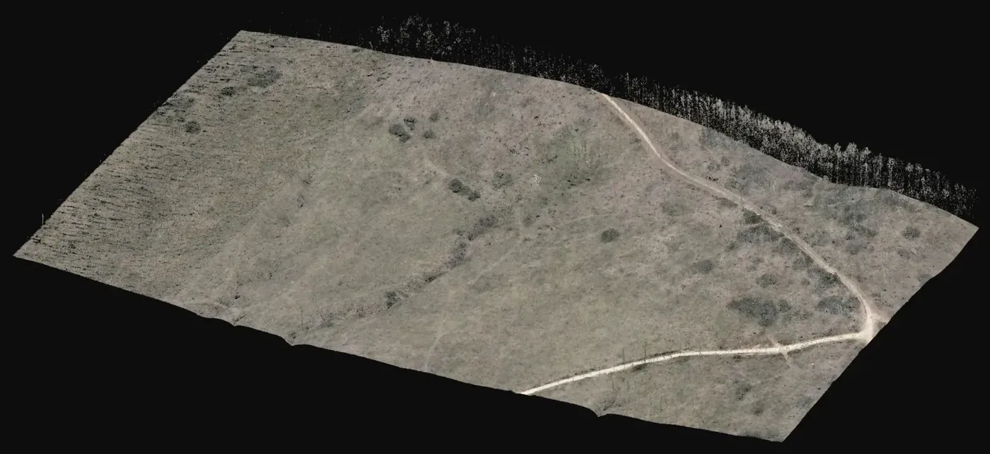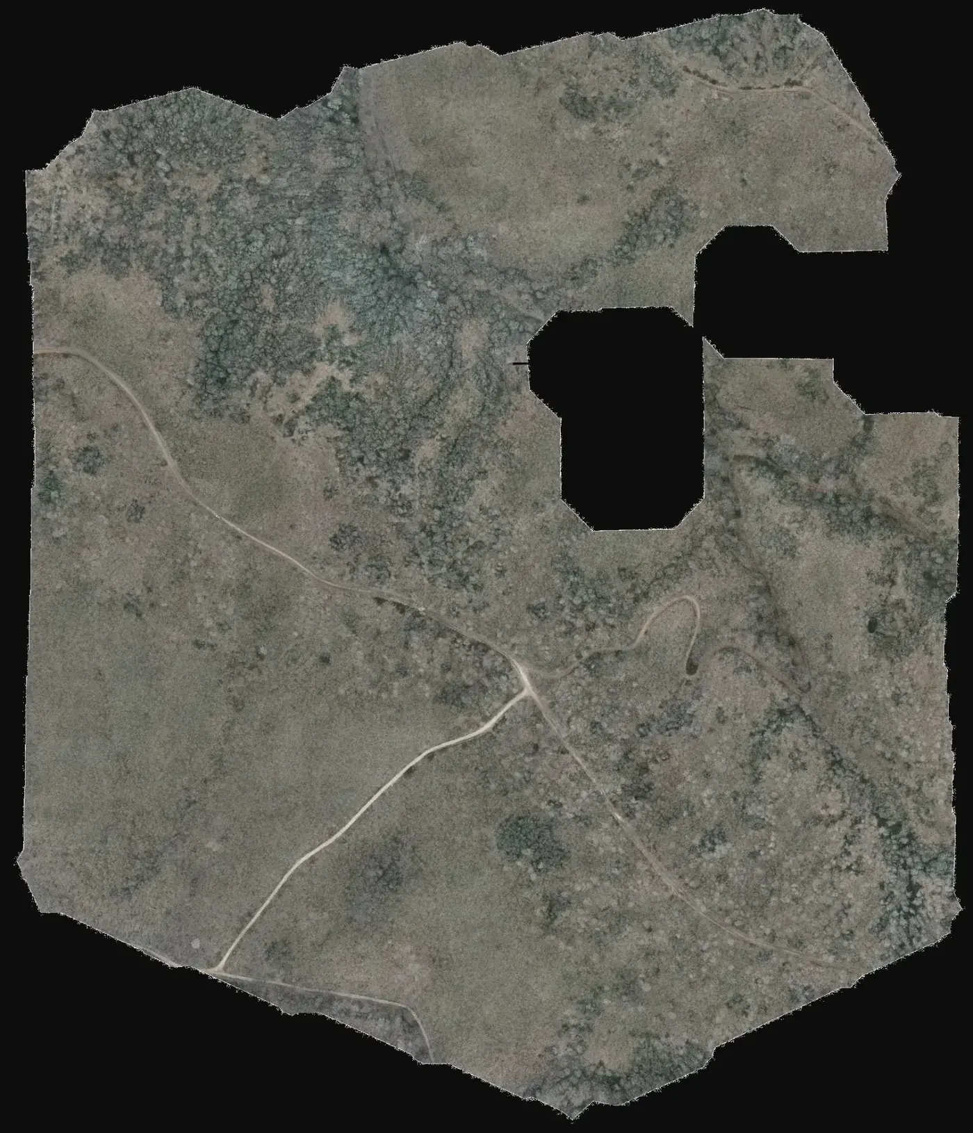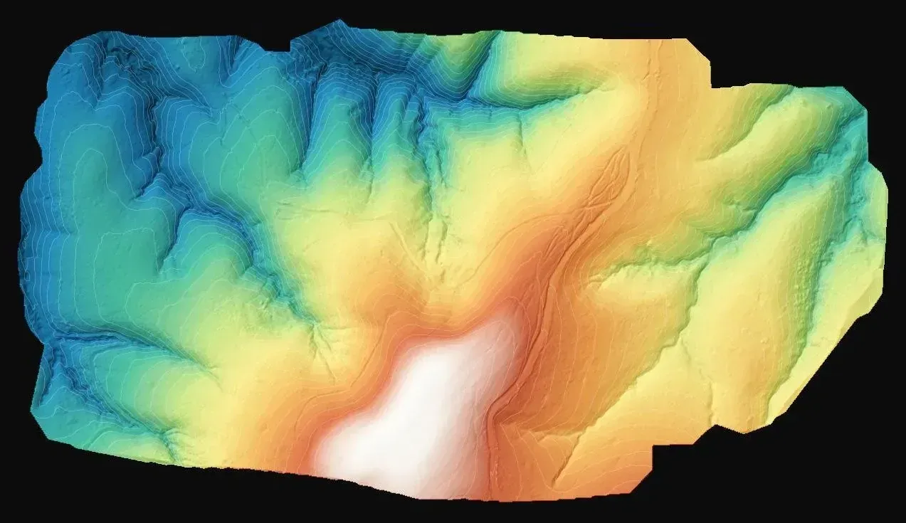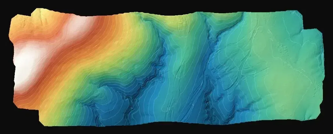
The starting point
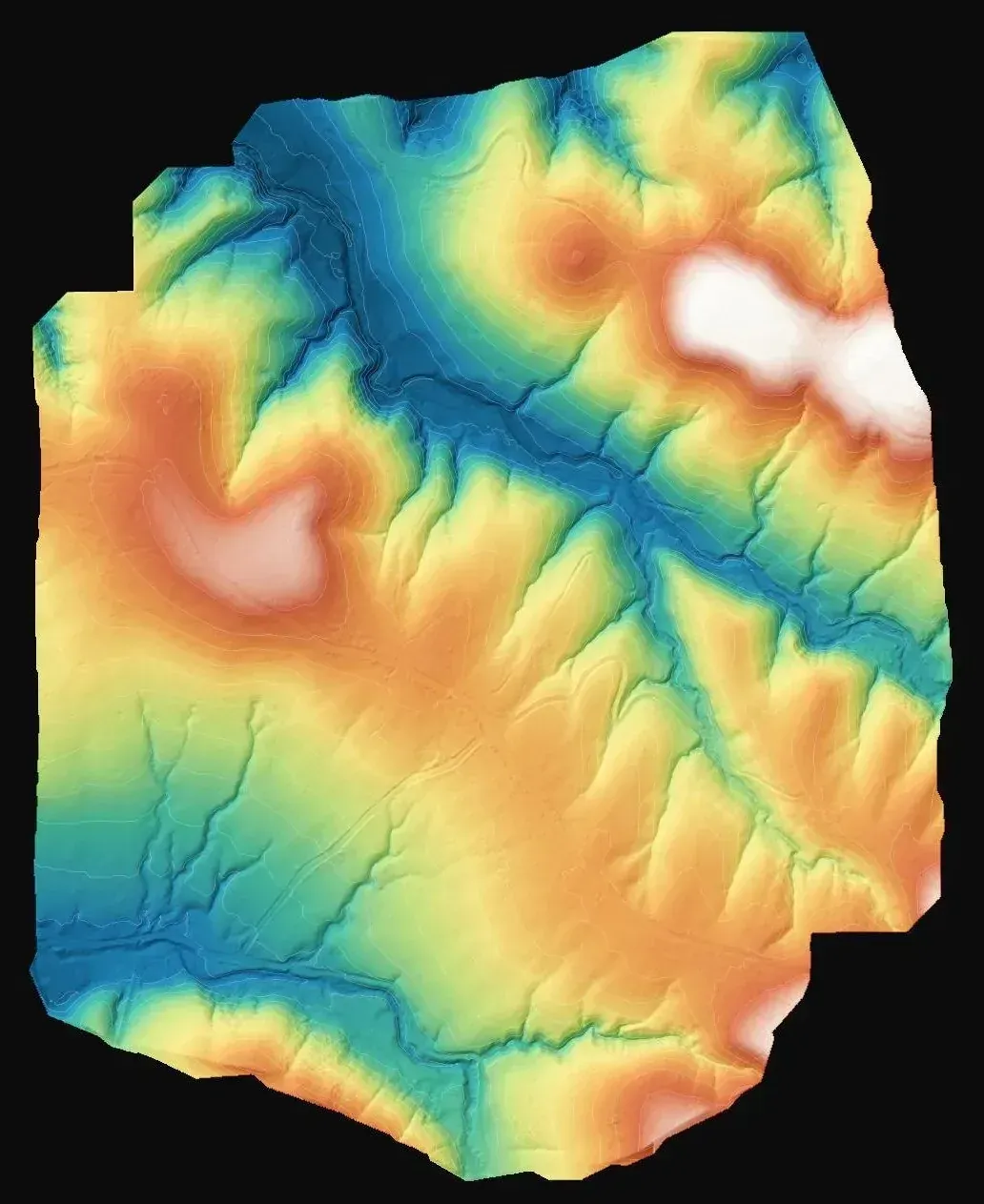
Three parcels of the same wind farm with no mapping at the scale the design calls for. The brief was to produce sheets at 1:1000 and 1:5000 with a terrain model and contours, referenced to control points of C3 grade, the network class Turkish regulations require for this kind of work.
Why LiDAR rather than photogrammetry alone
When the main product is relief (terrain model and contours) and the ground carries vegetation, LiDAR is the direct route: each pulse gives several returns and the last ones reach the soil, so the terrain model comes from classifying the cloud instead of interpolating between clearings. Photogrammetry models the canopy, not what lies under it. That is general knowledge of the method, not a measurement from this project.
Contours were derived from the classified ground model, and the orthophoto was produced as a visual layer to support the drawing.
What was delivered
A closed set of products ready for the wind farm designer.
-
Map sheets at 1:1000 and 1:5000
Formal mapping for the design and its permitting.
-
Terrain models
Base for siting turbines, tracks and platforms on true ground heights.
-
Contour lines
Reading the relief on the plan and estimating cut and fill.
-
Orthophoto
Visual reference for interpreting the linework and checking boundaries and access.
If you have a similar project in Spain
Ask for the terrain model and contours in ETRS89 and the UTM zone of the site, set the contour interval and sheet scale, and request the classified cloud as LAS or LAZ next to the DWG or DXF plan. To quote, we need the parcels as KMZ or shapefile, the dominant vegetation type and whether the design requires a height check against independent control points.