Projects

Case Studies

Real work by our technical partner MapSurvey: the same method and deliverables we offer in Spain. Open a project to see what was asked, how it was solved and what was delivered.

01
Mining
Mining

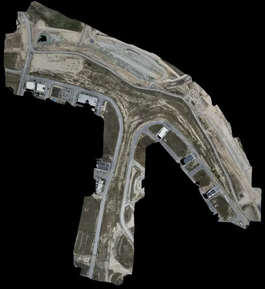
Base mapping and fill quantities at a mine site

Topographic base mapping and a fill quantity survey at the Karatepe mine site in Çorlu, with an explorable 3D model.

Çorlu, Tekirdağ, Turkey2023
02
Energy
Energy

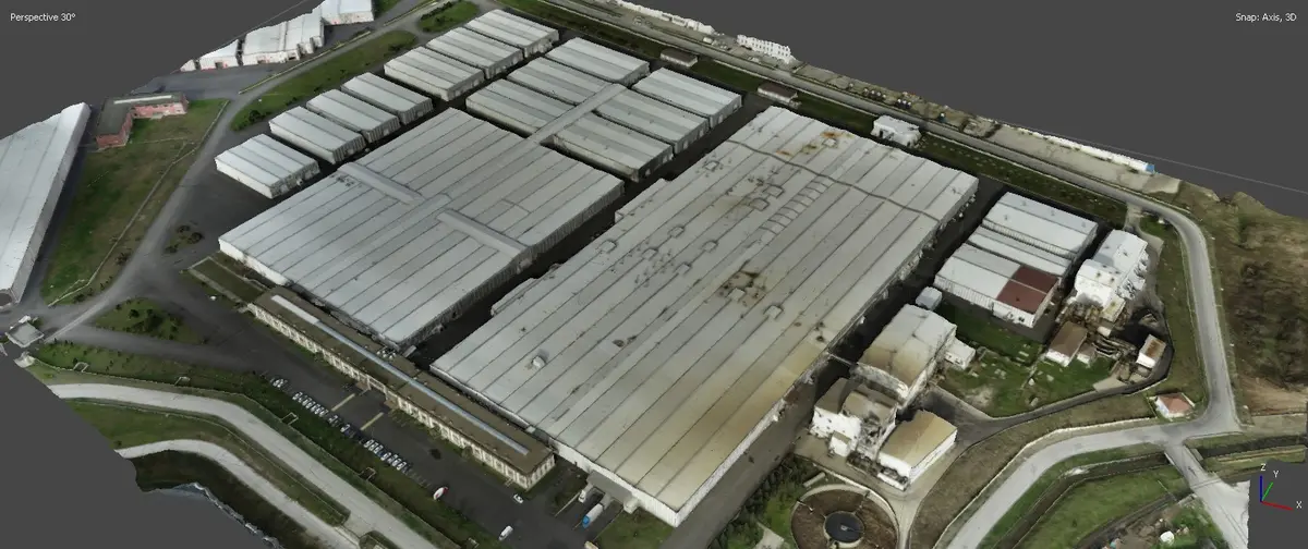
A textile factory modelled in 3D and mapped for its solar project

A textile factory in the Çerkezköy industrial zone, modelled in 3D and mapped as the base for its solar plant project.

Çerkezköy OSB, Tekirdağ, Turkey2023
03
Mining
Mining

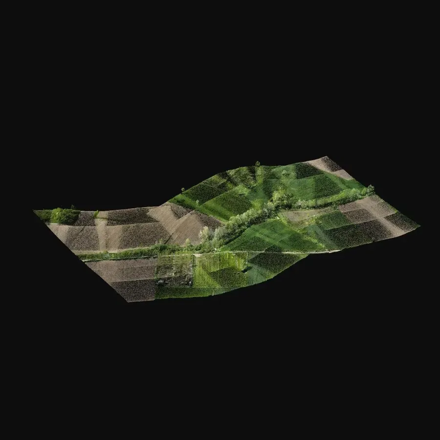
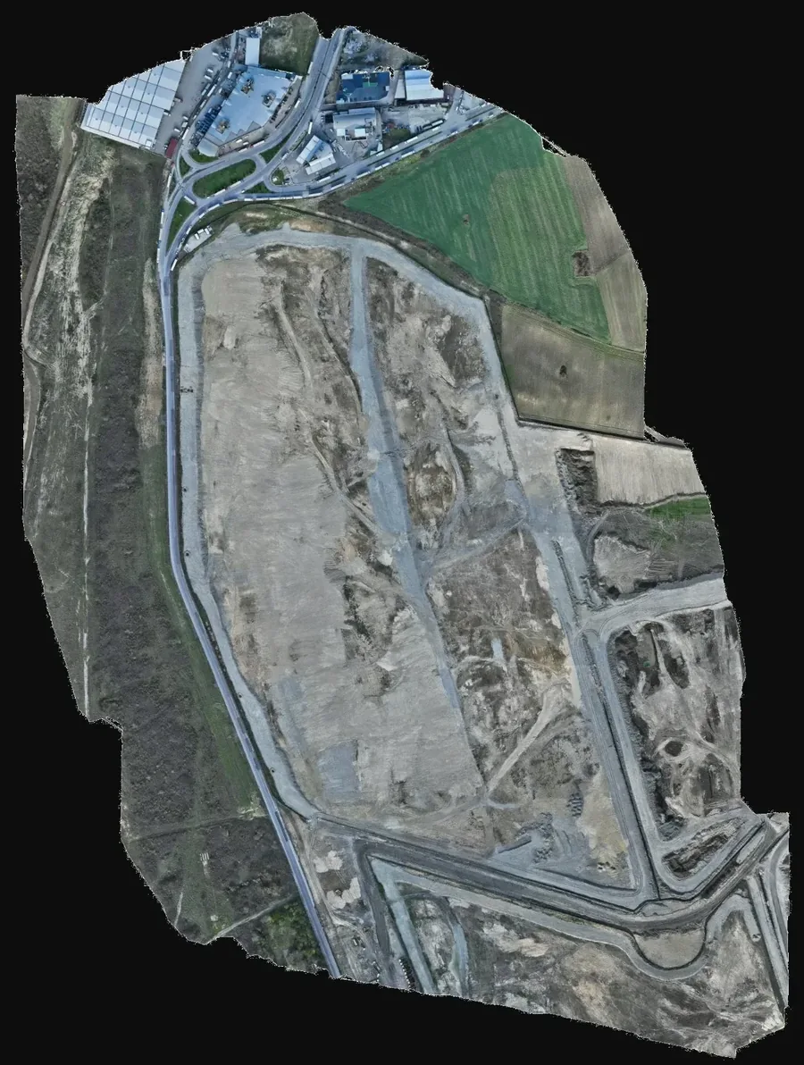
A sand quarry surveyed and monitored at regular intervals

Sand quarry in Kapaklı surveyed and monitored at regular intervals by our partner MapSurvey, with an explorable 3D model.

Kapaklı, Tekirdağ, Turkey2023
04
Base mapping
Base mapping

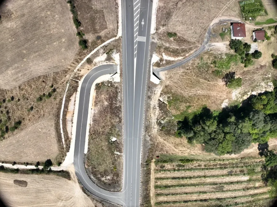
Heights and base maps of two industrial plots before construction

Spot height surveys and topographic base maps of two plots planned for construction in the Velimeşe industrial zone, with a 3D model.

Velimeşe OSB, Tekirdağ, Turkey2023
05
Restoration
Restoration

Recording a winery as built before its restoration

A winery in Şarköy surveyed as built, with base drawings for its restoration and an explorable 3D model.

Şarköy, Tekirdağ, Turkey2023
06
Energy
Energy

A wholesale store modelled and mapped for its solar plant

A wholesale store in Konya modelled in 3D and mapped, completing the surveys for its solar power plant.

Konya, Turkey2023
07
GIS
GIS

A neighbourhood mapped as the base for GIS and house numbering

Aşçıoğlu neighbourhood in Uzunköprü, mapped as base data for the council's GIS and house numbering, with an explorable 3D model.

Uzunköprü, Edirne, Turkey2023

2026 projects

Technical sheets: recent projects

Area, sensor, resolution and deliverables of each job, as delivered to the client.

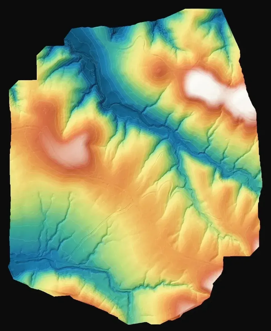
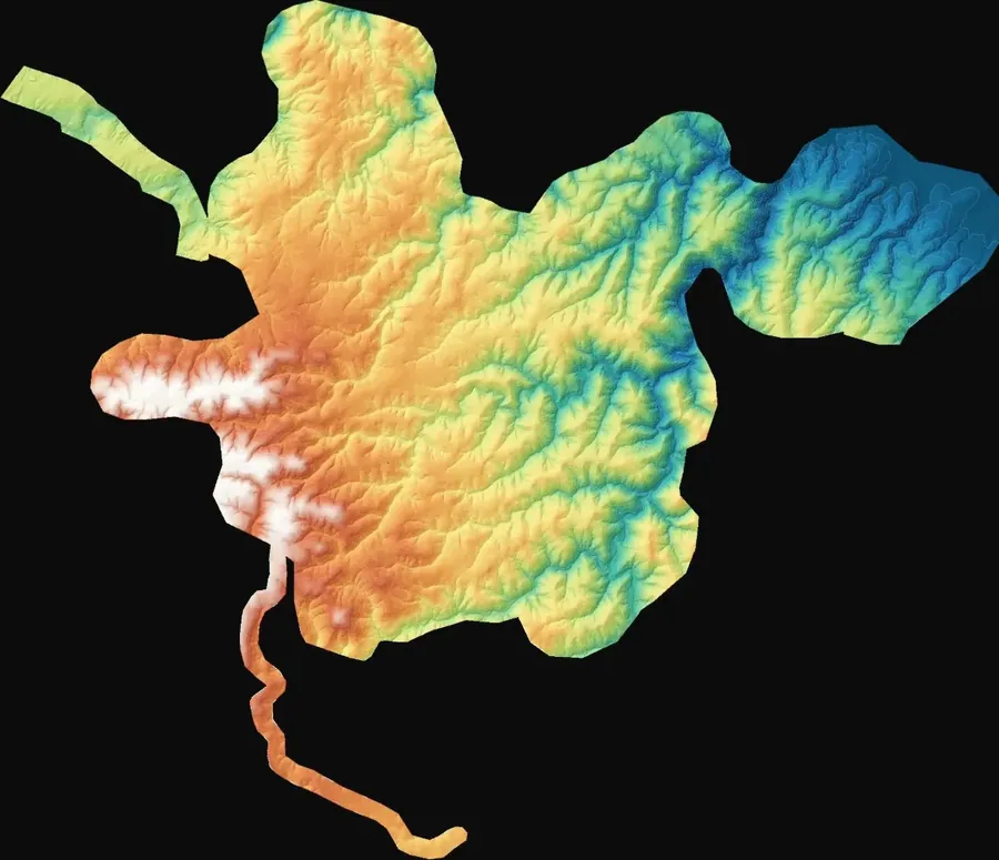
Shaded digital elevation model of the three wind farm areas
Energy

≈7,980 ha

Base mapping for three wind farm sites

Demirköy, Kırklareli, Turkey · 2026

Topographic base maps at 1:1000 and 1:5000 for the design and permitting of three wind farms. A C3 grade GNSS network with fabric-target control points was established, and hybrid photogrammetry and LiDAR flights were flown with DJI Zenmuse P1 and Zenmuse L2. Over about 7,980 ha, the 5 cm orthophoto, DEM, contour lines and map sheets were compiled by stereo restitution.

Area
≈7,980 ha
Scales
1:1000 and 1:5000
Sensors
Zenmuse P1 and L2
Orthophoto
5 cm GSD

View project →
Digital elevation model of the wind farm site
Energy

≈300 ha

LiDAR topographic mapping for a wind farm

Saray, Tekirdağ, Turkey · 2026

The project required 1:1000 and 1:5000 mapping of three areas totalling about 300 ha. They were scanned with drone LiDAR, tied to C3 grade control points, and the contour lines were derived from the ground model. Map sheets, terrain models, contour lines and an orthophoto were delivered, ready for the wind farm design.

Area
≈300 ha
Areas
3
Scales
1:1000 and 1:5000
Control
C3 grade points

View project →

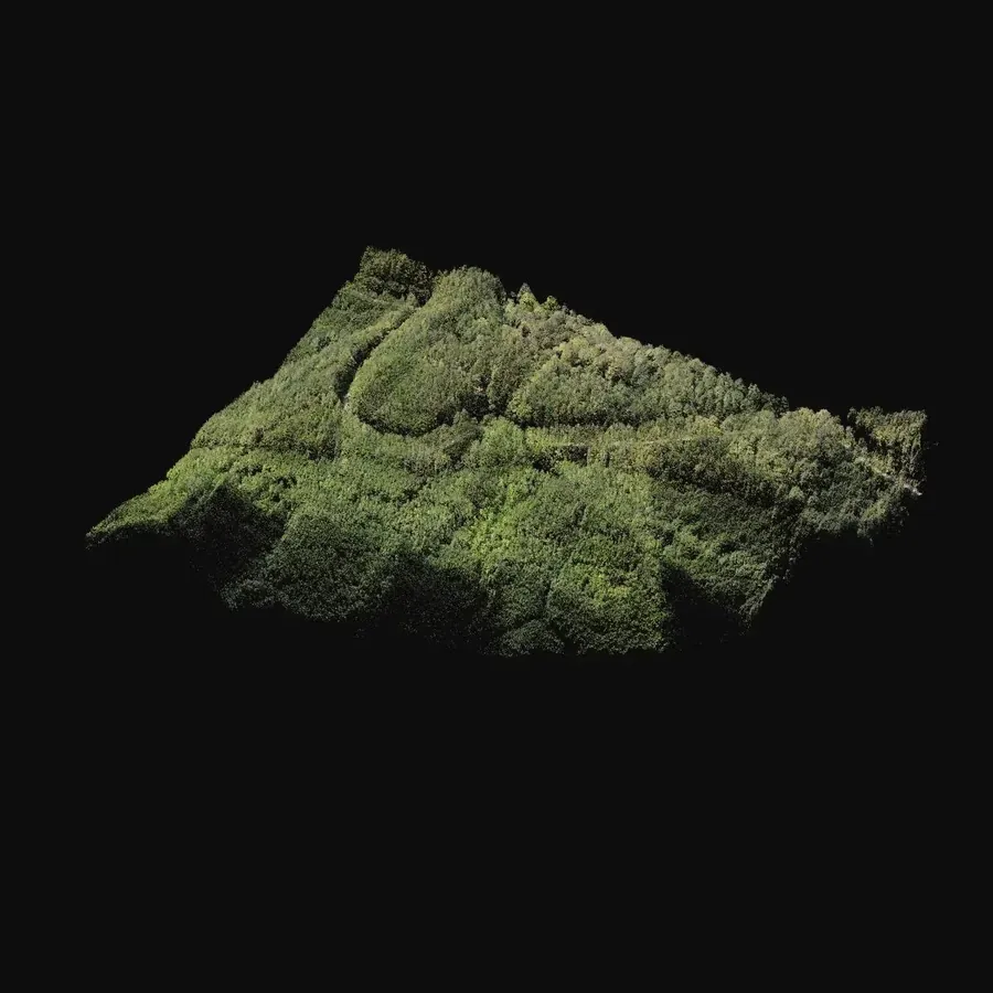
LiDAR point cloud of the forested area
LiDAR

≈120 ha

LiDAR under forest canopy for a road project

Kırklareli, Turkey · 2026

A forested area was missing from the existing map of a road project. It was scanned with DJI Zenmuse L2 and the returns reaching the ground through the trees were separated. Over about 120 ha, a terrain model, true orthophoto and DXF drawing were delivered, allowing the alignment to be completed without a ground survey of the area.

Area
≈120 ha
Sensor
Zenmuse L2
Setting
Forest cover
Deliverables
DTM, true orthophoto, DXF

View project →

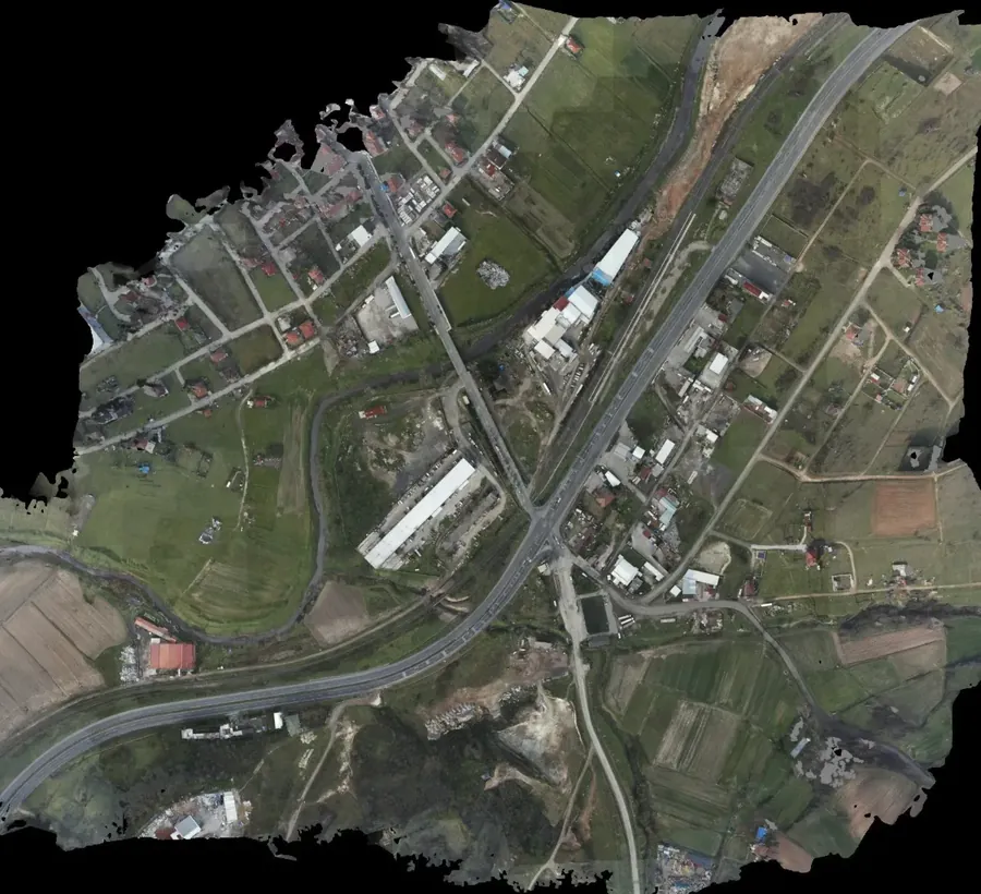
Orthophoto of the road junction area
Civil works

≈113 ha

Topographic survey for a road junction project

Ergene, Tekirdağ, Turkey · 2026

A base map was needed for the design of a road junction over about 113 ha. Capture combined drone photogrammetry and drone LiDAR, with imagery at 4.7 cm, and the drawings were compiled from the orthophoto and point cloud. The topographic map in NetCAD and DWG, TIN with contours, surface model and a KMZ were delivered.

Area
≈113 ha
GSD
4.7 cm
Method
Photogrammetry and LiDAR
Formats
NetCAD, DWG, KMZ

View project →

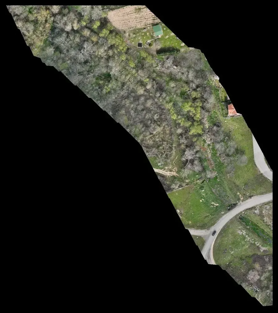
Orthophoto of the stream corridor
LiDAR

≈53 ha

LiDAR for a stream improvement project

Babaeski, Kırklareli, Turkey · 2026

The project required mapping the stream channel, banks and nearby structures along a corridor of about 53 ha. It was scanned with drone LiDAR tied to ground control points, with the ground under vegetation separated. The topographic drawing with roads, culverts, walls, banks and contours, the alignment drawing, a 2.1 cm orthophoto and a terrain model were delivered.

Corridor
≈53 ha
Orthophoto
2.1 cm
Control
Ground control points
Deliverables
Drawing, alignment, DTM

View project →

Oblique view of the stream corridor point cloud
LiDAR

5.4 km

LiDAR topographic mapping of a stream corridor

Kırklareli, Turkey · 2026

A topographic base was needed for a stream improvement along 5.4 km. The corridor was scanned with drone LiDAR and the ground points beneath vegetation were classified. The terrain model, contour lines, orthophoto and topographic map split into sheets were delivered, a direct basis for the hydraulic design.

Length
5.4 km
Sensor
Airborne LiDAR
Classification
Ground under vegetation
Deliverables
DTM, contours, sheets

View project →

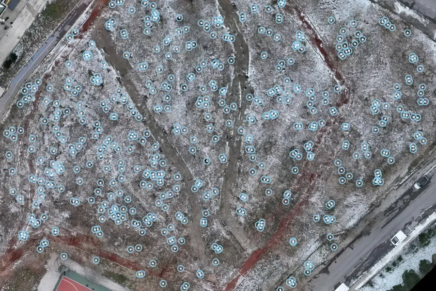
Orthophoto with each tree position marked
LiDAR

817 trees

LiDAR tree inventory in a picnic area

Çerkezköy, Tekirdağ, Turkey · 2026

The client needed the number and position of the trees in a picnic area. It was scanned with drone LiDAR, the ground was separated and each tree was isolated in the point cloud and located. A drawing locating 817 trees in NetCAD and DWG, a 3 cm orthophoto and a terrain model were delivered.

Trees
817
Orthophoto
3 cm
Method
Airborne LiDAR
Formats
NetCAD, DWG

View project →

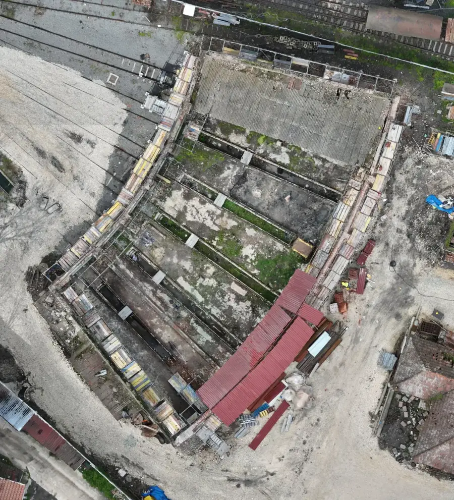
Orthophoto of the historic station building
Heritage

0.8 cm

Measured survey of a historic railway station building

Çerkezköy, Tekirdağ, Turkey · 2026

The current state of the building and its surroundings had to be documented as a basis for restoration. Laser scanning of the building was combined with a photogrammetric flight and mapping of the wider station site. A colour point cloud, a 0.8 cm orthophoto, section images and a setting-out drawing were delivered.

Orthophoto
0.8 cm
Methods
Laser scanning and photogrammetry
Scope
Building and station site
Deliverables
Colour point cloud, sections

View project →

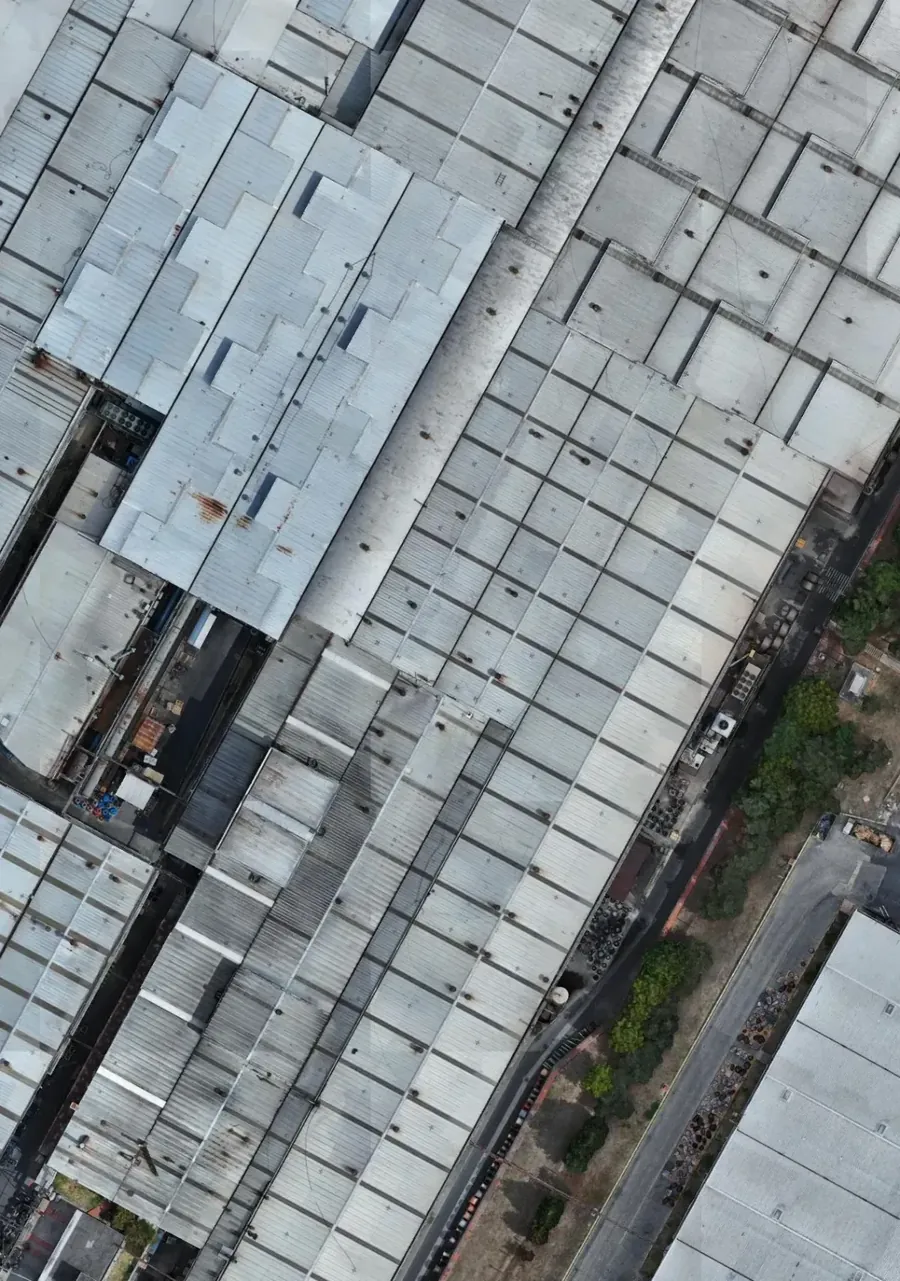
Orthophoto of the industrial site roofs
Industrial

2 cm

Area survey and 3D model of an industrial site

Çerkezköy, Tekirdağ, Turkey · 2026

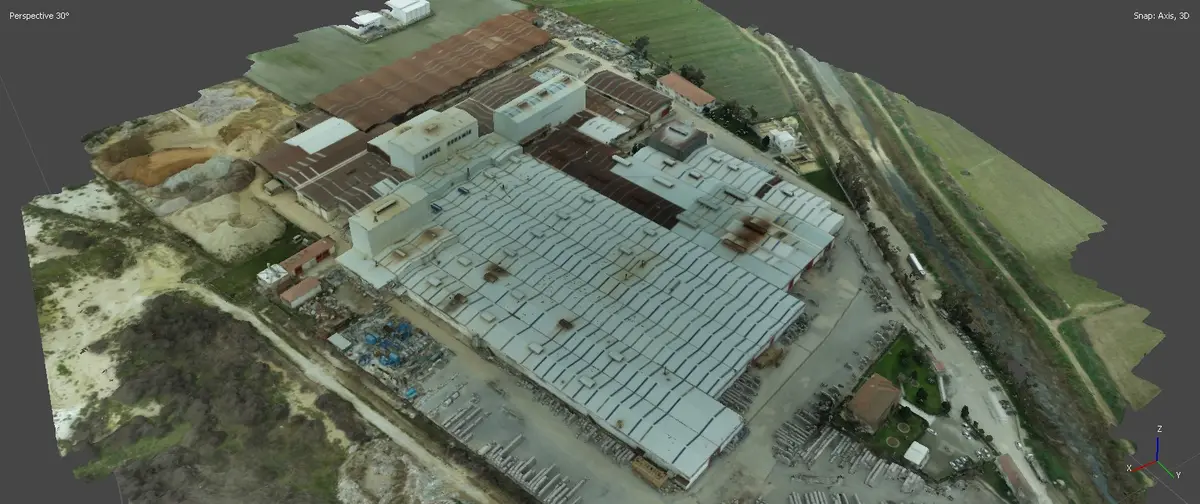
The client needed to calculate the covered and open areas of an industrial site. It was flown with a PPK drone in nadir and oblique passes. A 2 cm orthophoto, a surface model and a 3D model were delivered, allowing areas to be measured and the site reviewed without visiting it.

Orthophoto
2 cm
Positioning
PPK
Flights
Nadir and oblique
Deliverables
DSM, 3D model

View project →

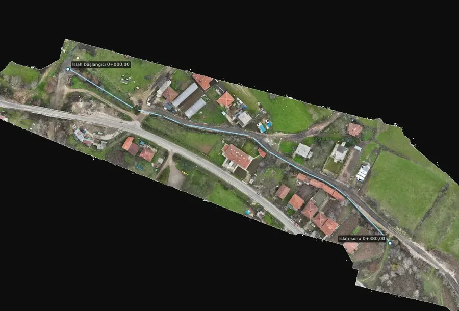
Orthophoto with the improvement alignment of two streams
Civil works

every 10 m

Survey of two stream branches through a village

Vize, Kırklareli, Turkey · 2026

The improvement of two stream branches running through a village needed an alignment, longitudinal profiles and cross sections. The site was flown by drone at 1.9 cm and a cross section was produced every 10 m along the alignment. The orthophoto, alignment and culvert drawing, longitudinal and cross sections in NetCAD and a KMZ were delivered.

Cross sections
Every 10 m
GSD
1.9 cm
Deliverables
Alignment, profiles, culverts
Formats
NetCAD, KMZ

View project →

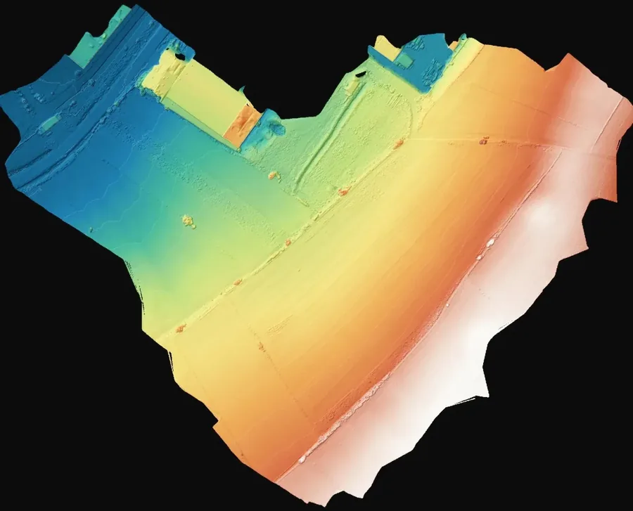
Surface model of a plot from a PPK drone survey
Surveying

2 days

Spot-height survey by drone

Tekirdağ, Turkey · 2026

A spot-height plan was needed for the design of a plot. The surface model was produced by PPK drone photogrammetry and the ground points were extracted from it. The spot-height drawing in DXF and a 10 cm orthophoto were delivered in two days.

Turnaround
2 days
Orthophoto
10 cm
Positioning
PPK
Format
DXF

View project →

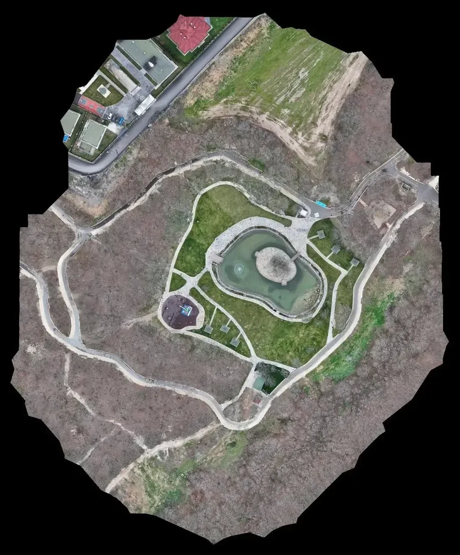
Orthophoto of one of the park areas
LiDAR

≈31 ha

LiDAR elevation survey for park areas

Çerkezköy, Tekirdağ, Turkey · 2026

Landscape design for a park and urban forest on three hilltop areas, about 31 ha, needed reliable elevations. The wooded and scrub areas were scanned with drone LiDAR and the ground points were separated. Elevation points in DXF, a terrain model and a 2.1 cm orthophoto for the three areas were delivered.

Area
≈31 ha
Areas
3
Orthophoto
2.1 cm
Deliverables
DXF elevations, DTM

View project →

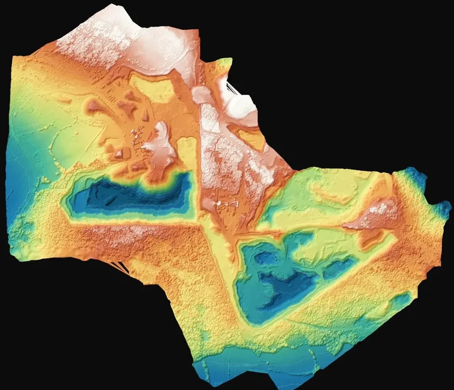
Digital elevation model of a quarry
Mining

3 areas

Volume survey at a quarry

Saray, Tekirdağ, Turkey · 2026

The volume of fill placed in three areas of a quarry was required. A surface model was produced by drone, each area was modelled separately and compared with the existing ground. A volume report and spot-height and contour drawings in DXF and NetCAD were delivered.

Areas
3
Method
Drone surface model
Comparison
Existing ground
Formats
DXF, NetCAD

View project →
Orthophoto of a fill site
Civil works

1.8 cm

Volume and spot heights at a fill site

Arnavutköy, Istanbul, Turkey · 2026

The client needed the volume of fill placed and the current elevations of the site. It was flown at 1.8 cm and the volumes were calculated prismatically on the surface model within the fill boundary. The volume calculation, a spot-height drawing in NetCAD and DXF and an orthophoto in ECW were delivered.

GSD
1.8 cm
Calculation
Prismatic on DSM
Deliverables
Volumes, spot heights, orthophoto
Formats
NetCAD, DXF, ECW

View project →
Orthophoto of a plot for design
Surveying

ITRF

Spot heights and orthophoto for site design

Arnavutköy, Istanbul, Turkey · 2026

An up-to-date spot-height drawing and orthophoto were needed for the design of a building plot. Drone photogrammetry tied to the ITRF coordinate system was flown and the elevations were taken from the surface model. A spot-height drawing in NetCAD and DWG and an orthophoto in ECW were delivered.

System
ITRF
Method
Drone photogrammetry
Deliverables
Spot heights, orthophoto
Formats
NetCAD, DWG, ECW

View project →

Aerial view of a wind farm access road
Energy

3D

Survey of wind farm access roads

Kırklareli, Turkey · 2026

The existing condition of the access roads to a wind farm had to be documented. A GNSS network was established for the site and the roads were flown with drone photogrammetry. For each road a 3D model, orthophoto and surface model were delivered, a basis for planning their upgrade.

Deliverable
3D model per road
Method
Drone photogrammetry
Control
GNSS network
Products
Orthophoto, DSM

View project →

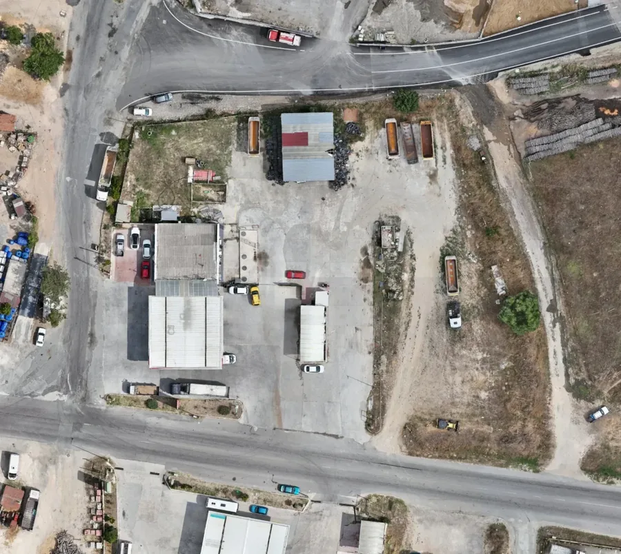
Orthophoto of a fuel station plot
Surveying

GCP

Topographic survey of a fuel station plot

Saray, Tekirdağ, Turkey · 2026

An up-to-date map of the plot and its surroundings was needed. The site was flown with drone photogrammetry tied to ground control points. The orthophoto, surface model and topographic drawing were delivered, ready for the station project.

Control
Ground control points
Method
Drone photogrammetry
Deliverables
Orthophoto, DSM, drawing
Scope
Plot and surroundings

View project →

Gallery

More results from our flights

A selection of technical deliverables and aerial photography from different projects.

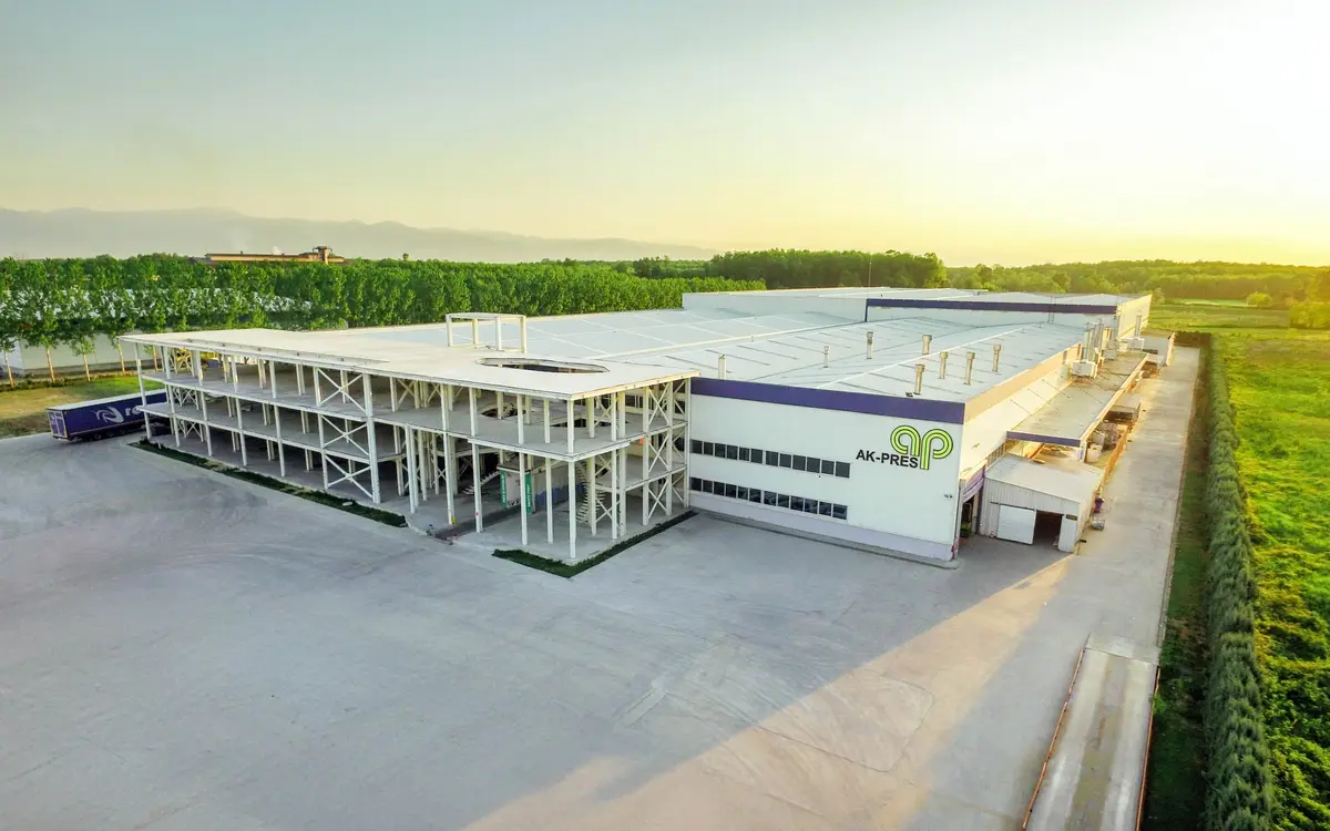
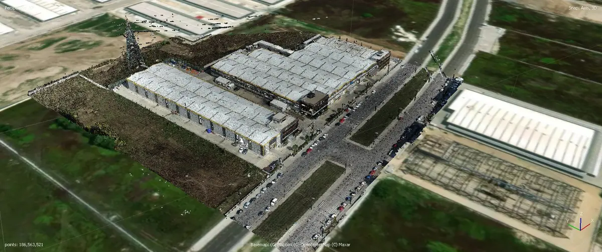
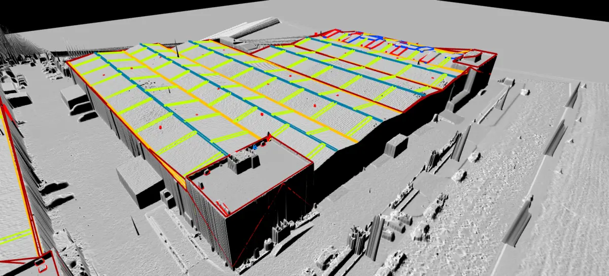
3D model of an industrial complex generated by drone
Aerial view of an industrial facility in Madrid
LiDAR point cloud from a drone survey
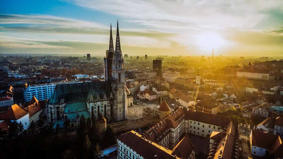
Aerial view of the Madrid cityscape
3D model from aerial drone photogrammetry
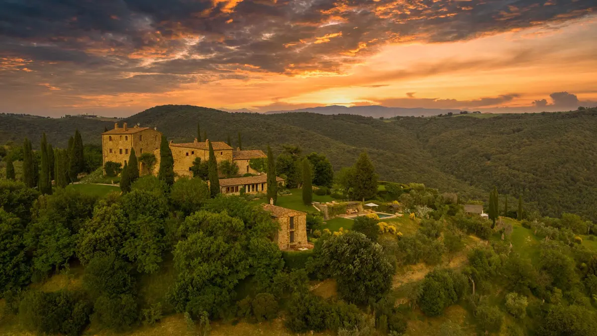
Aerial photograph of Tuscany at golden hour
Georeferenced CAD mapping from drone data
Aerial view of a coastal hotel
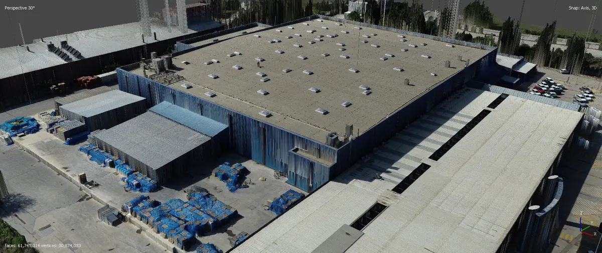
As-built industrial 3D model captured by drone

Have a similar project?

Tell us the details and we'll prepare a personalised no-obligation quote.

Get a Quote