The question to answer
This was not a standard topographic plan but an inventory: the exact number of trees and the coordinate of every trunk, to plan maintenance, pruning and new planting without walking the whole area with a GNSS rover.
Why LiDAR for a tree count
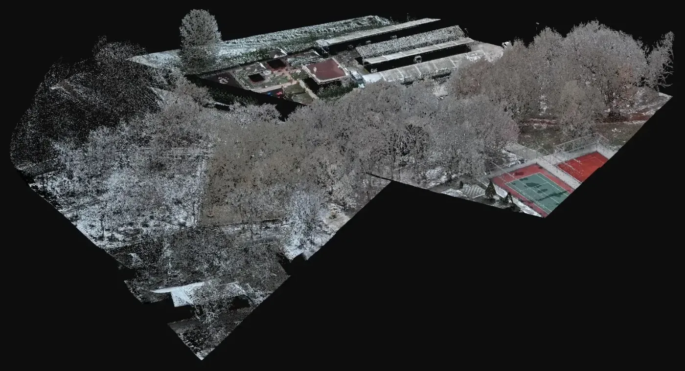
In an orthophoto crowns overlap and a cluster of trees reads as one blob. A LiDAR cloud is three dimensional: once the ground is removed, every trunk and crown stands as its own body inside the cloud and can be isolated and positioned one by one. That is what was done here: separate the terrain, isolate each tree, assign a position. As a general rule this works better than counting on imagery when the stand is dense or the crowns touch.
What was delivered
Three files that turn the cloud into an inventory the parks department can use.
-
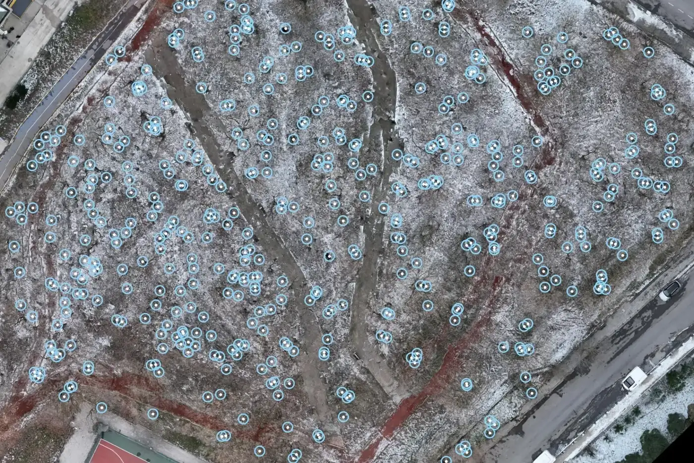
Drawing locating 817 trees (NetCAD, DWG)
Georeferenced inventory for maintenance, pruning and planting plans.
-
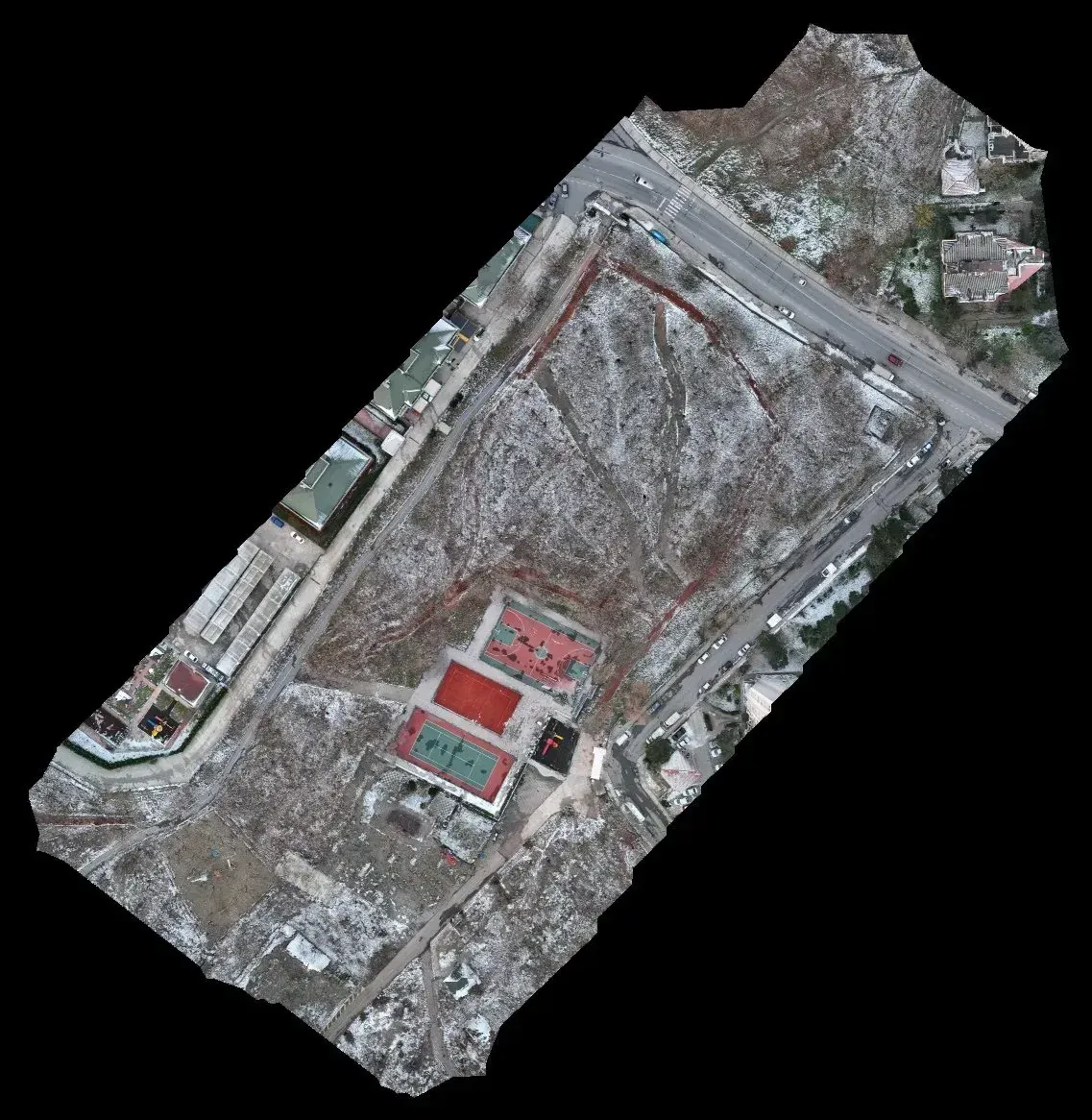
3 cm orthophoto
Current image of the area to identify each tree and the land uses.
-
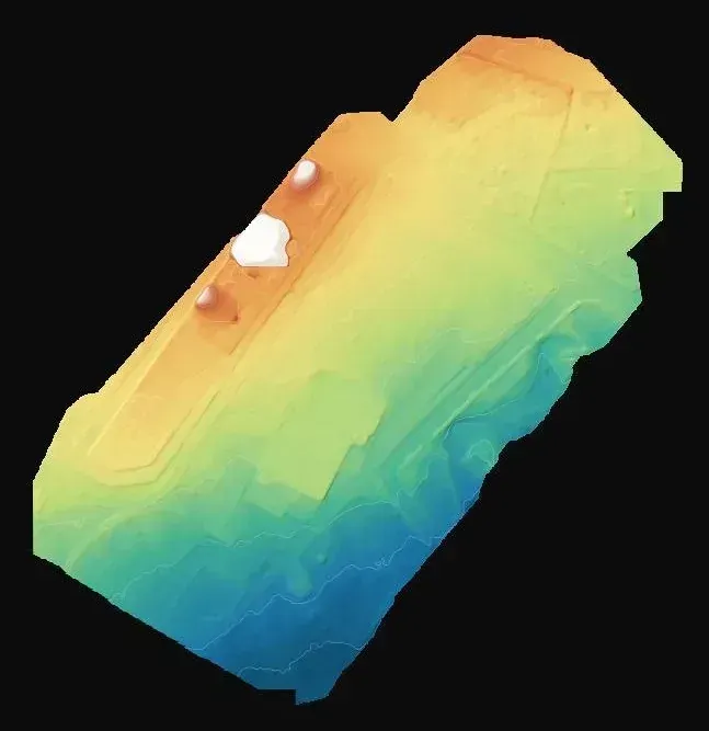
Terrain model
Height base for paths, drainage and new seating areas.
If you have a similar project in Spain
Ask for the position drawing in ETRS89 and the UTM zone of your municipality, as DWG or DXF, with an identifier per tree you can link to an attribute table. Also request the classified cloud as LAS or LAZ if you want to measure heights or crown diameters later. To quote, we need the perimeter of the area as KMZ, the type of trees and whether shrubs should be included in the inventory.