What the project needed
Hydraulic design of a long reach demands continuity: one terrain surface from end to end, with no steps between partial surveys, and a map cut into sheets the design office can handle.
Why LiDAR on a long corridor
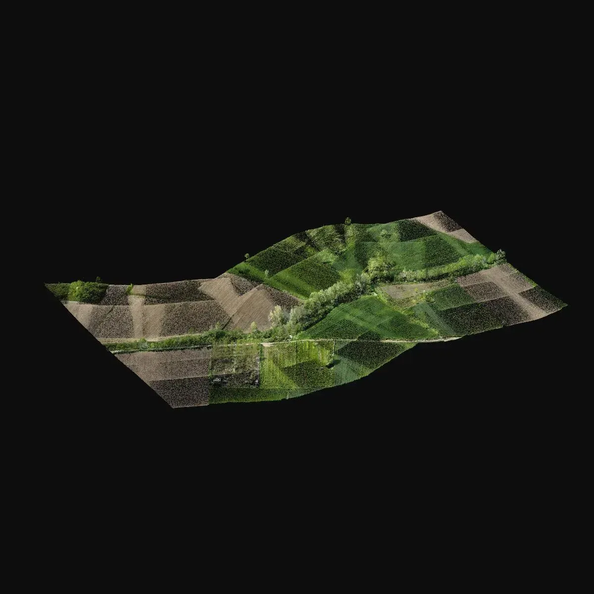
Along 5.4 km of bank the vegetation changes reach by reach, and photogrammetry only returns the ground where it is clear. LiDAR records returns beneath the vegetation and lets ground points be classified along the full length with one consistent rule, which is what gives the terrain model its coherence. As a general rule, the longer and greener the corridor, the bigger the advantage of LiDAR over classic section by section surveying.
What was delivered
Relief, contours, imagery and map, all in one reference system.
-
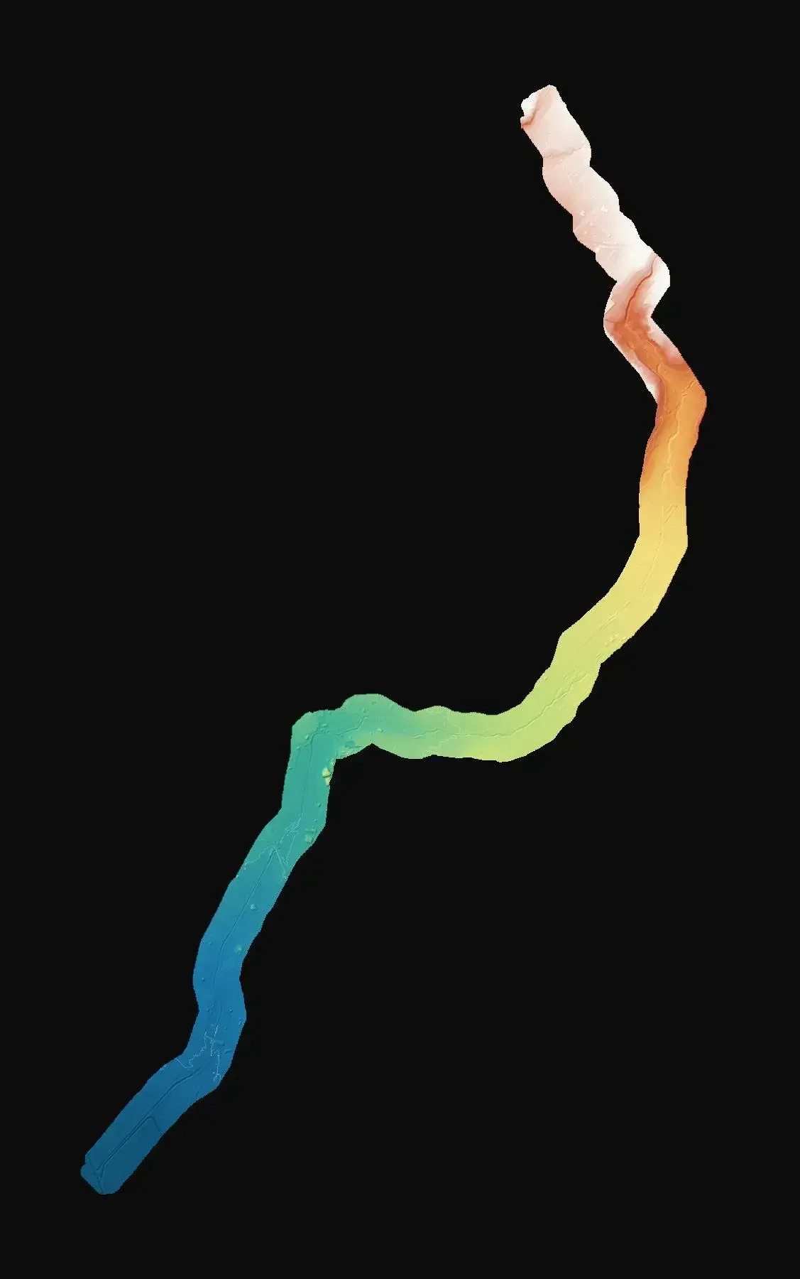
Terrain model
Continuous surface for the hydraulic model and channel profiles.
-
Contour lines
Reading the relief of banks and floodplain on the map.
-
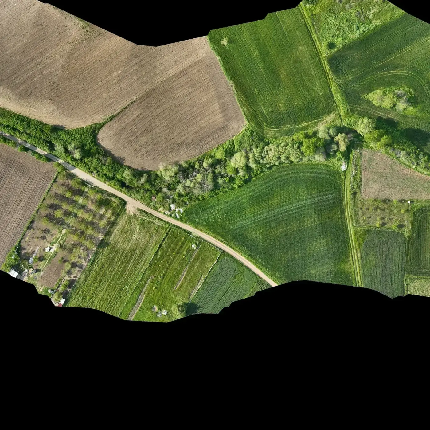
Orthophoto
Visual record of the channel's current state and adjoining land use.
-
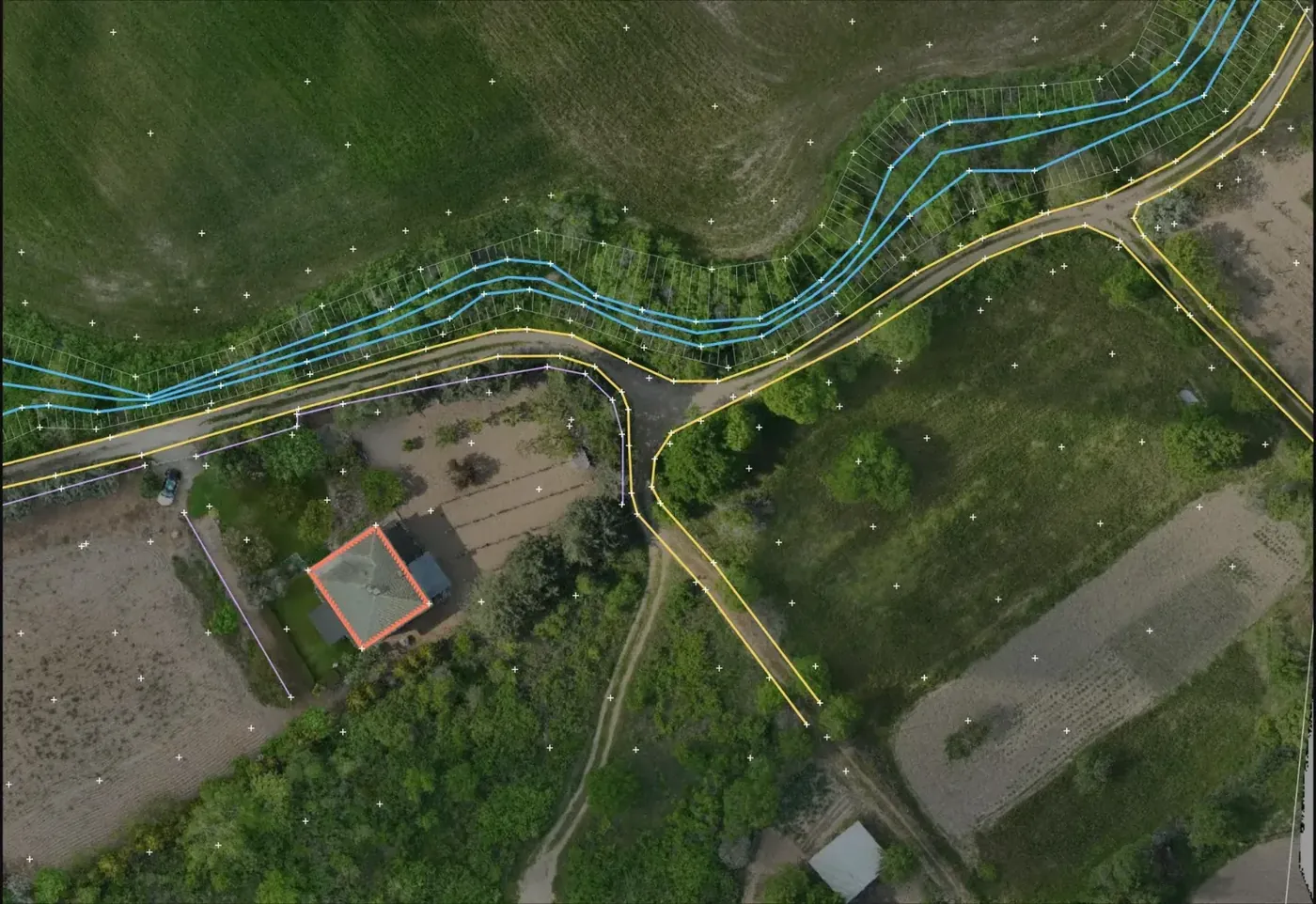
Topographic map split into sheets
Design document that can be handled reach by reach.
If you have a similar project in Spain
Ask for the terrain model and classified cloud (LAS or LAZ) in ETRS89 and the local UTM zone, the map as DWG or DXF with an agreed sheet layout, and the contour interval your hydraulic model needs. To quote, we need the stream centreline as KMZ, the corridor width on each side and the reaches with dense tree cover.