What the project needed
A restoration design starts from what exists: deformations, cracks, masonry, joinery and the relation of the building to the station grounds. The brief was to fix all of that in a metric colour record that the architect can draw from and that stands as evidence of the prior state.
Why laser scanning plus photogrammetry
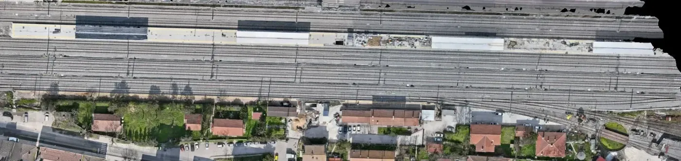
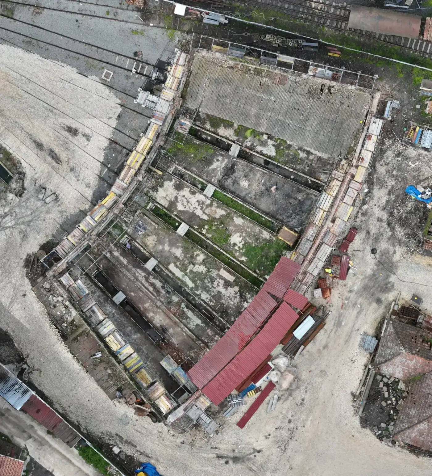
A terrestrial laser scanner gives dense, precise geometry of facades and interiors but does not see roofs or the site from above. Drone photogrammetry at 0.8 cm covers exactly that: roofs, copings and the full grounds, with photographic texture. As a general rule, heritage work combines both so that no surface goes unrecorded and the final cloud carries true colour. Here the mapping also extended to the station grounds beyond the building itself.
What was delivered
A record of the current state from which plans, elevations and sections can be extracted whenever the design needs them.
-
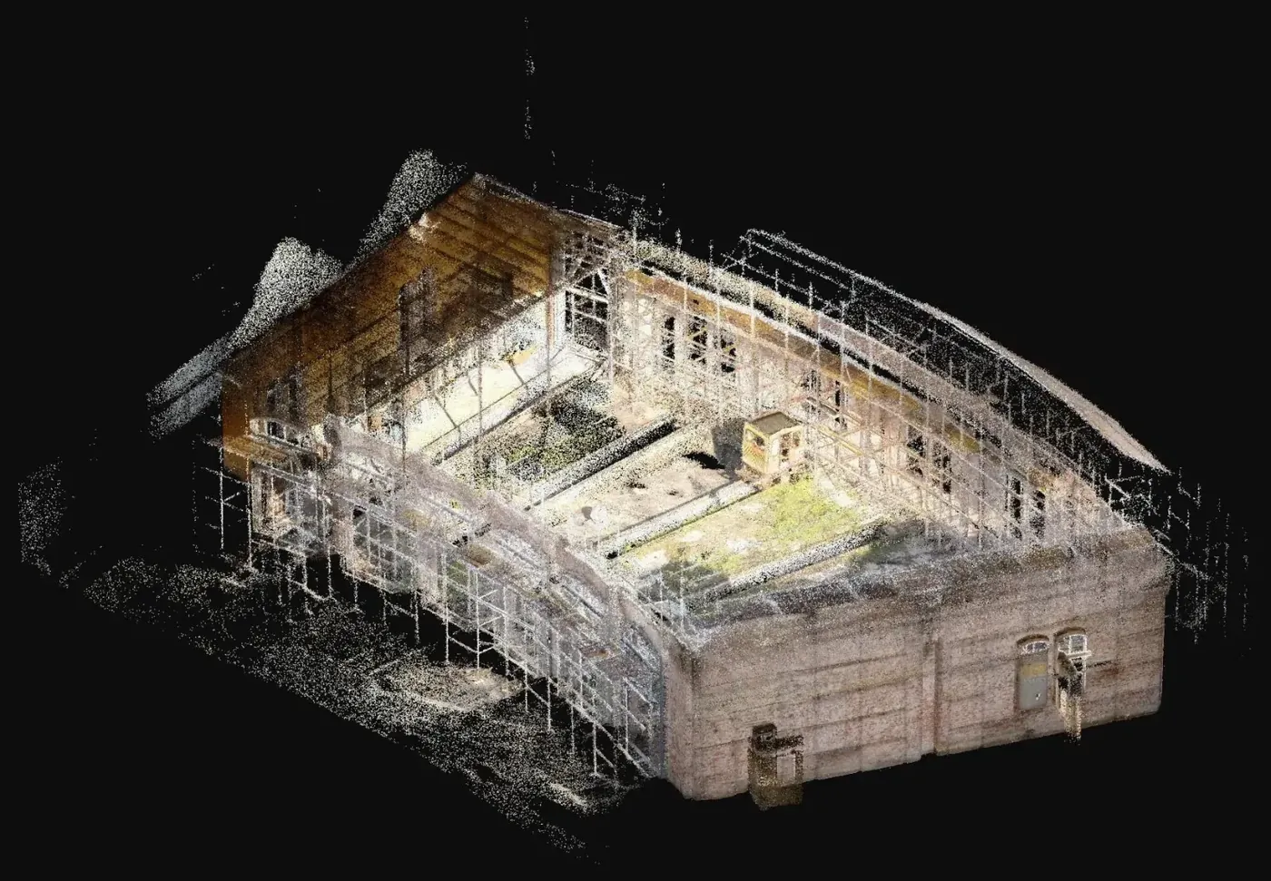
Colour point cloud
Complete building geometry for plans, elevations and BIM or HBIM modelling.
-
0.8 cm orthophoto
Metric image of roofs and surroundings for the existing state plan.
-
Section images
Cuts through the building to study deformations and levels.
-
Setting out drawing
Coordinate reference for positioning the works on site.
If you have a similar project in Spain
Ask for the colour point cloud as LAS or in the format your BIM software reads with an agreed coordinate system (ETRS89 and UTM zone, or a local building grid referenced to it), facade orthophotos at the resolution your level of detail requires, and sections in DWG or DXF. To quote, we need photos of the building, its approximate footprint, access to interiors and whether the surroundings must be mapped too.