What the project needed
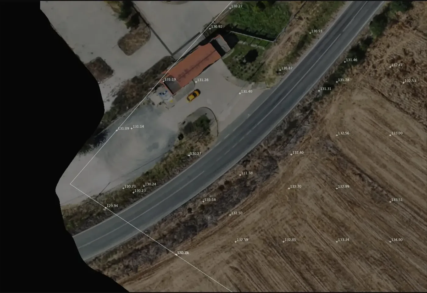
A spot height plan is the minimum product an architect or engineer starts from: terrain points with their elevation, spread across the plot, to lay out platforms, accesses and drainage. Neither a full topographic plan nor a high resolution orthophoto was needed.
Why PPK and not classic ground control
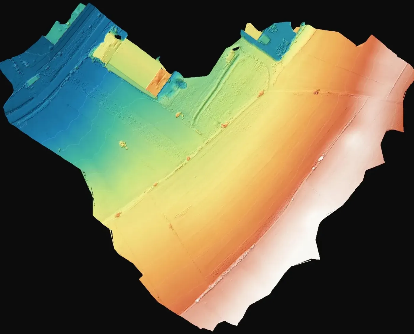
With PPK the position of every photograph is corrected after the flight against a GNSS base, so the block is georeferenced without measuring and marking a grid of targets on site. As a general rule that shortens the time on the ground for small, open plots, and one or two check points are enough to validate the result. Ground points were then extracted from the resulting surface model to form the spot height plan.
What was delivered
Two files, delivered in two days on the original job.
-
Spot height drawing in DXF
Terrain points with elevation for designing platforms, accesses and drainage.
-
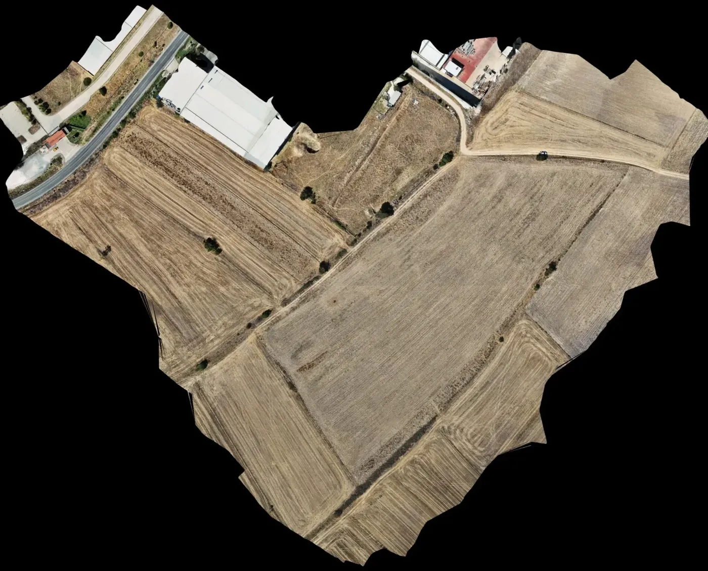
10 cm orthophoto
Context image to locate the plot and its boundaries.
If you have a similar project in Spain
Ask for the heights in ETRS89 and your UTM zone, as DXF or DWG, at the point density your design needs, and an orthophoto at a GSD that matches the use (general siting does not call for the finest resolution). To quote, we need the plot perimeter as KMZ, the intended use of the plan and whether vegetation hides the ground.