What the project needed
The landscape architect needed true ground height to lay out paths, steps, viewpoints and drainage on vegetated slopes. Without it the design sits on a surface that is really the top of the scrub, with height errors that only show up during construction.
Why LiDAR on scrub covered ground
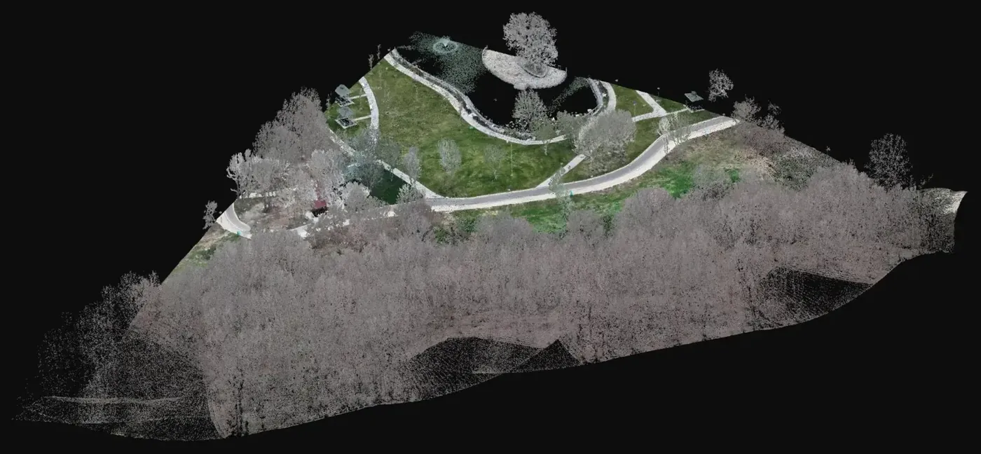
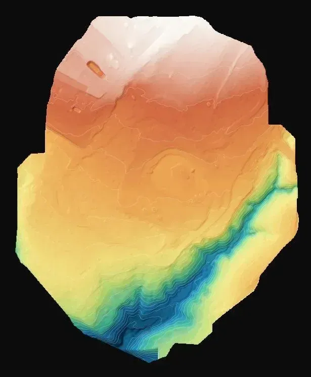
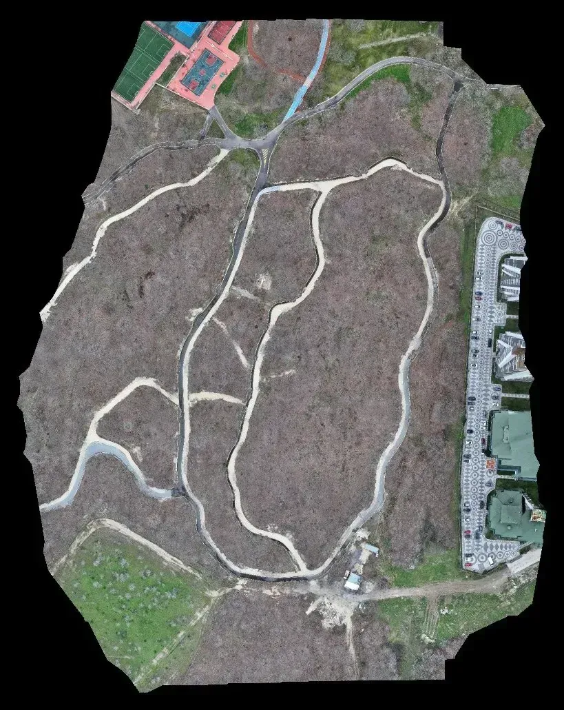
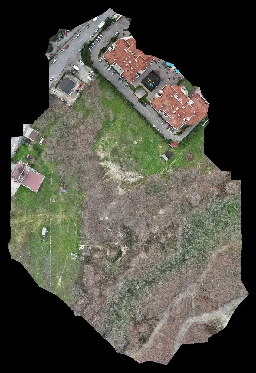
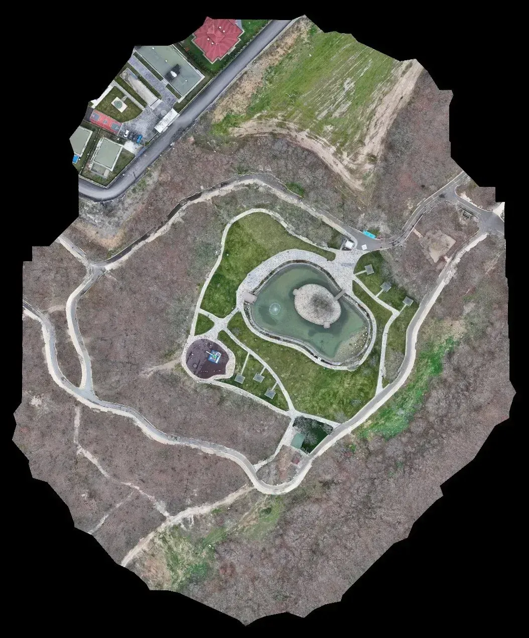
Dense scrub is the worst case for photogrammetry: it covers the ground completely and leaves no clearings to measure in. LiDAR records multiple returns and, when the cloud is classified, separates the points that reached the terrain from those that stopped in the vegetation. The terrain model and the height points come from that split. As a general rule, the more continuous the cover, the bigger the difference between the two methods. The 2.1 cm orthophoto accompanies the terrain model as a visual record of the current state.
What was delivered
Three products for each of the three areas.
-
Elevation points (DXF)
Ground heights for path grades, steps and platforms.
-
Terrain model
Continuous surface for slopes, drainage and earthworks.
-
2.1 cm orthophoto
Image of the current state to locate vegetation to keep and existing accesses.
If you have a similar project in Spain
Ask for the heights and terrain model in ETRS89 and your UTM zone, as DXF or DWG, together with the classified cloud as LAS or LAZ so the ground and vegetation split can be reviewed. To quote, we need the perimeters as KMZ, the type of vegetation cover and the contour interval the landscape design will use.