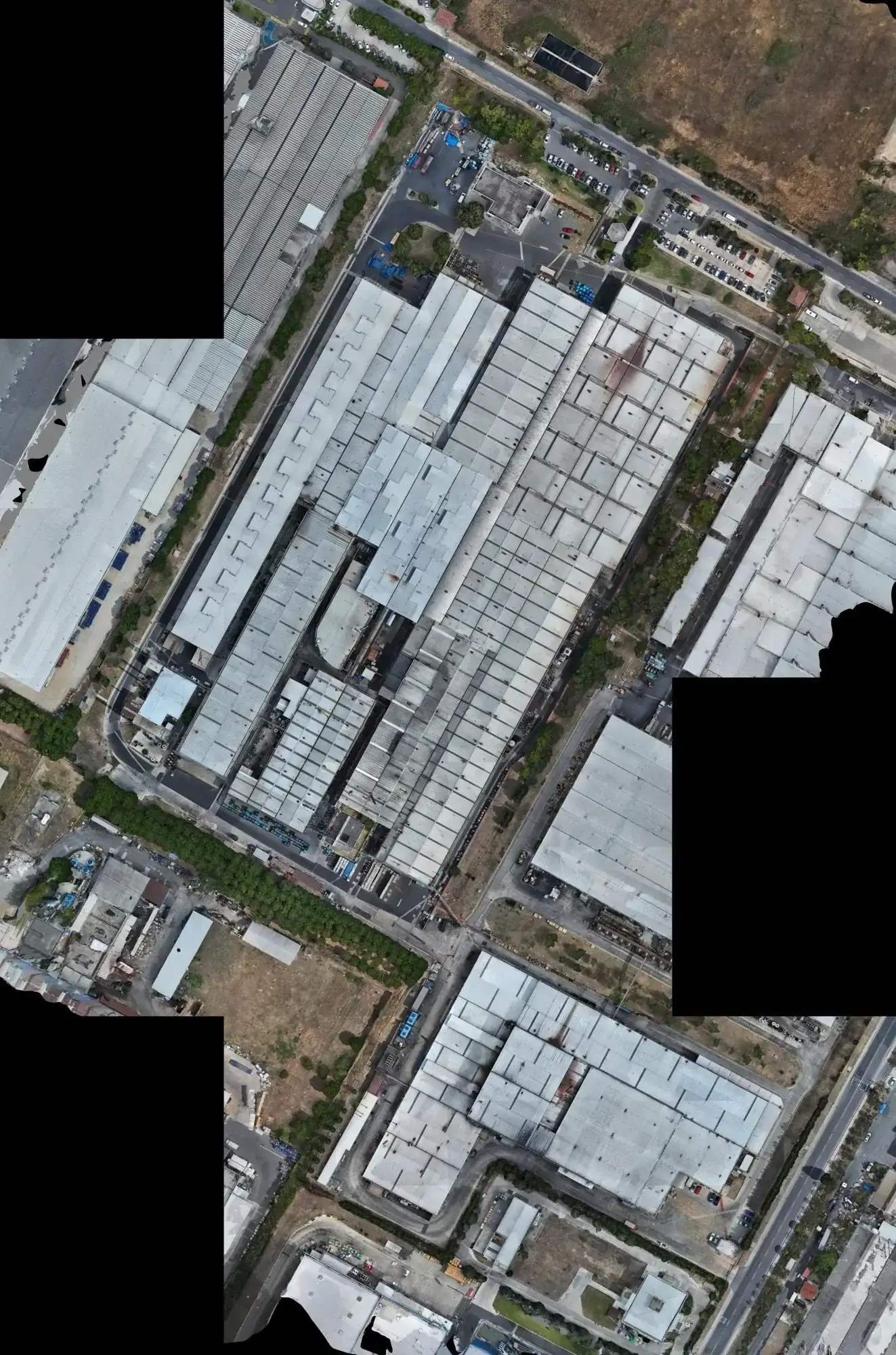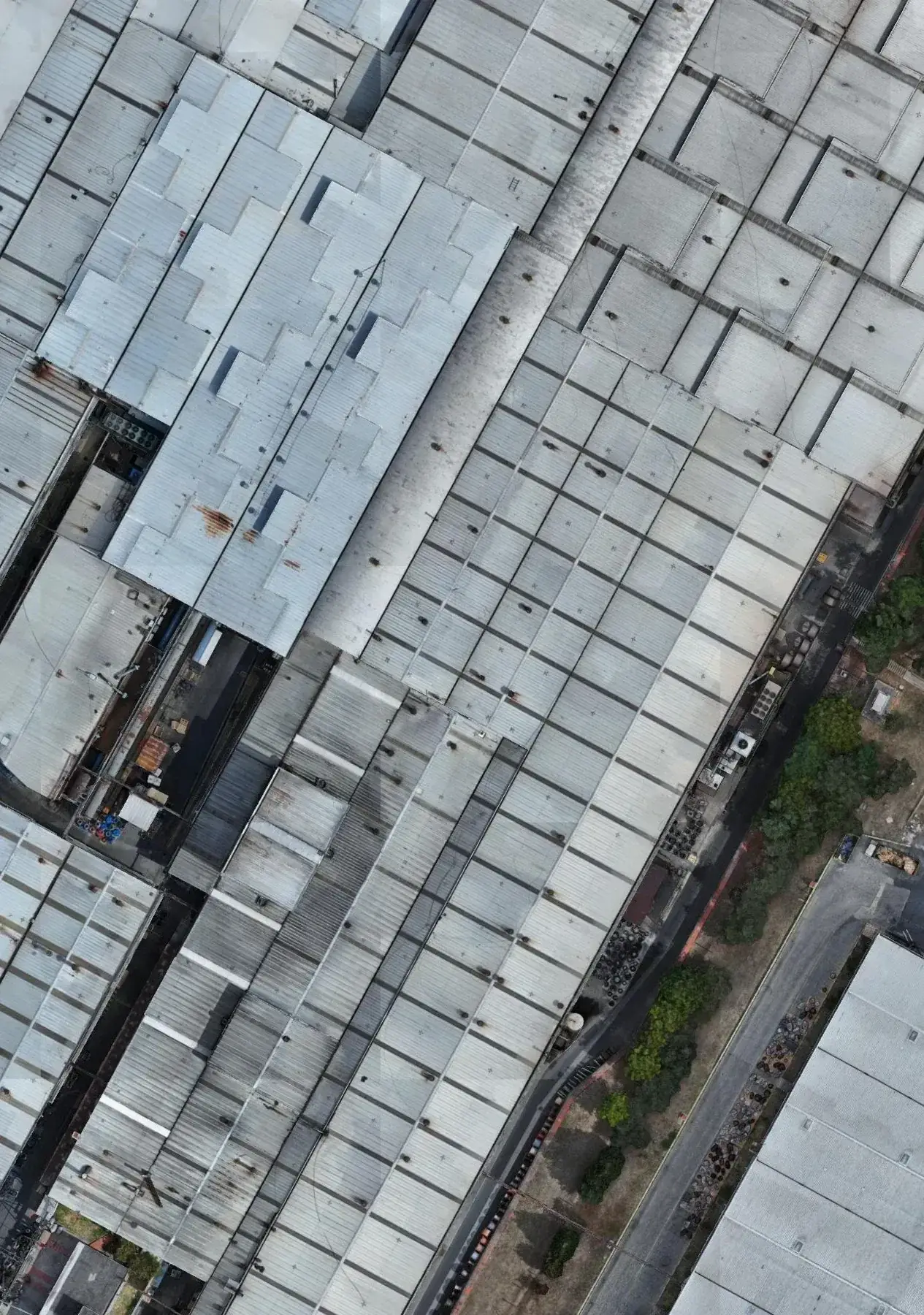
What the project needed
To separate precisely what sits under a roof from what does not, on a site with halls, canopies, auxiliary stores and yards. That figure drives permits, insurance, taxes and any future extension, and on older plants it rarely matches the archived drawings.
Why PPK photogrammetry with oblique flights
For area measurement the key product is a well georeferenced orthophoto: roof outlines are drawn on it and the areas are computed. PPK positioning corrects the drone trajectory against a GNSS base and reduces the number of control points that have to be measured on foot inside a working plant. Oblique passes complete the facades and overhangs that a vertical view cannot resolve, and they are what makes a readable 3D model possible. This is general knowledge of the method; the project figures are those in the specs.
What was delivered
Three products for measuring and reviewing the plant from the office.
-
2 cm orthophoto
Metric base for drawing roof outlines and computing areas.
-
Surface model
Heights of halls and rooftop elements for reviewing the whole site.
-
3D model
Virtual walkthrough of the plant for extensions, maintenance and presentations.
If you have a similar project in Spain
Ask for the orthophoto in ETRS89 and your UTM zone, the GSD in writing, the 3D model in a format your team can open (OBJ, FBX or a web viewer) and the roof outlines as DWG or DXF if you want the areas already drawn. To quote, we need the plot perimeter as KMZ, the approximate height of the halls and any flight restrictions specific to the site.