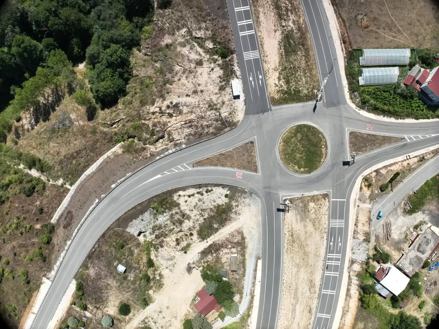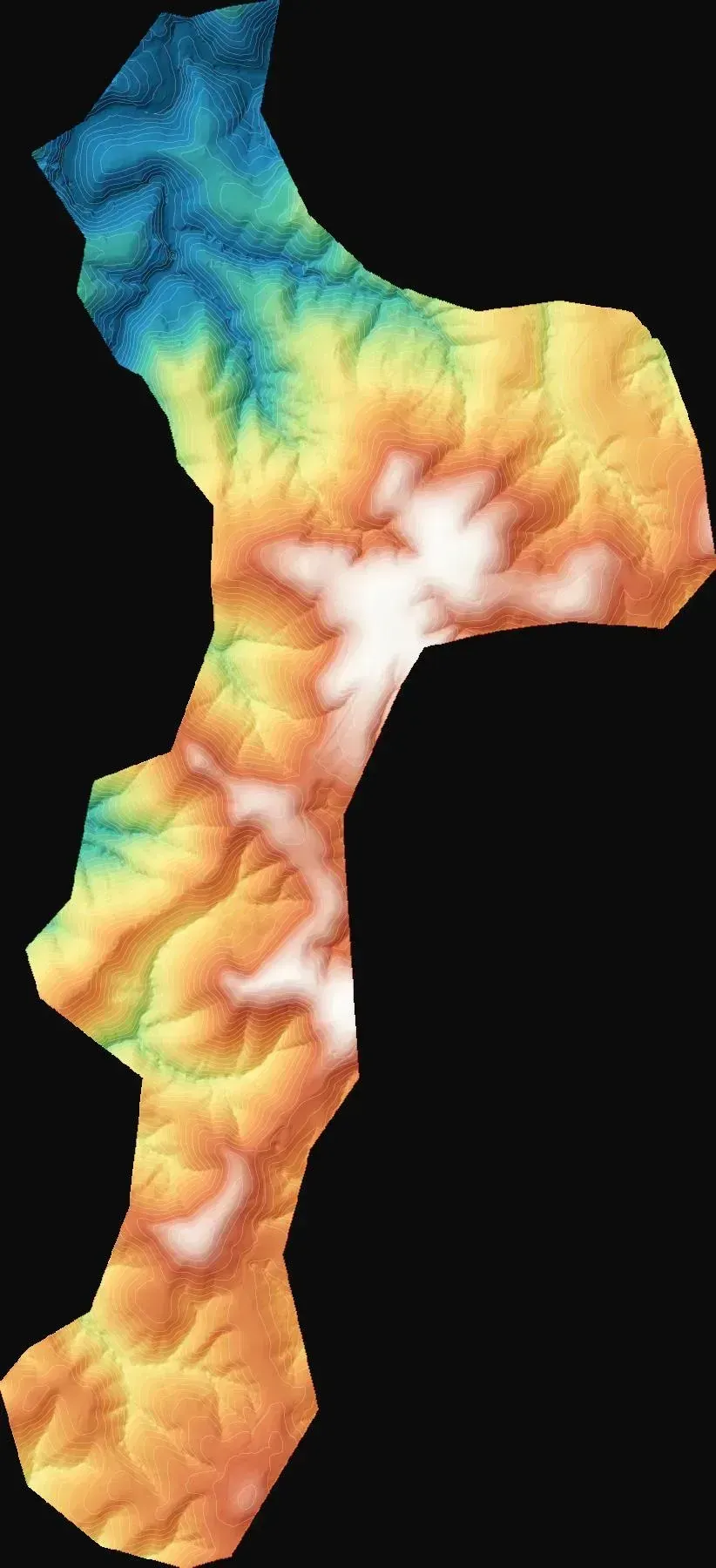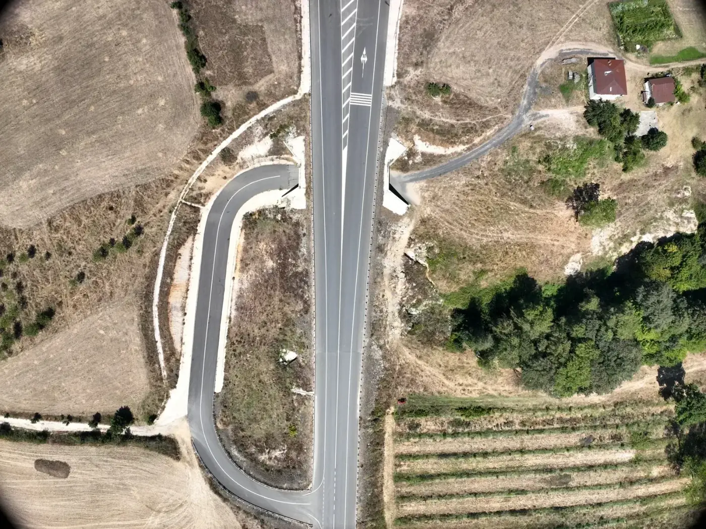
What the project needed
Abnormal loads of blades, towers and nacelles impose widths, radii and maximum gradients. The developer needed the existing state of each road to decide where to widen, where to ease bends and where to strengthen the pavement, with data that holds up in a discussion with the haulier.
Why photogrammetry on a GNSS network
Roads are long, narrow linear features. Drone photogrammetry covers them in quick passes and returns imagery and surface together, enough to measure widths, crossfall and gradients on open pavement. The GNSS network established for the site ensures every road shares its reference with the rest of the wind farm project and with construction setting out. As a general rule, LiDAR would only add value if the verges were under dense vegetation.
What was delivered
The same set of three products for each road.
-
3D model of each road
Visual review of bends, junctions and roadside obstacles with the haulier.
-
Orthophoto of each road
Measuring widths and pavement condition on a georeferenced image.
-
Surface model of each road
Gradients, crossfall and profiles for the transport study.
If you have a similar project in Spain
Ask for the products in ETRS89 and the UTM zone of the wind farm, with the surface model in a format your alignment software reads and the orthophoto as GeoTIFF or ECW; if you want widths and radii already measured, also request centreline and edges as DWG or DXF. To quote, we need the road alignments as KMZ, their total length and the dimensions of the planned transport.