What the project needed
A fuel station is designed around what surrounds it: the road, its accesses, the drains and the neighbouring plots. So the survey could not stop at the plot boundary; it had to take in the surroundings to resolve entries, exits and surface water.
Why photogrammetry with ground control
On an open plot beside a road, drone photogrammetry produces in one campaign the orthophoto, the surface and the base for drawing the plan. Ground control points measured on site fix the block to the coordinate system and allow accuracy to be checked against independent points, which matters when the plan will be used for permits. As a general rule, on this kind of plot LiDAR brings no advantage over imagery.
What was delivered
Three products covering imagery, relief and linework of the plot and its surroundings.
-
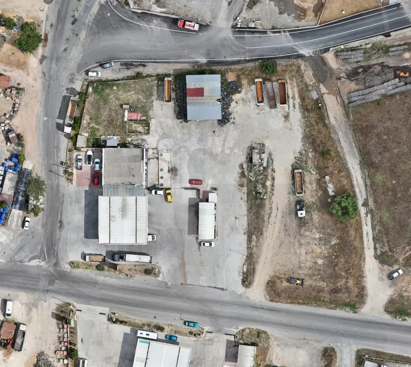
Orthophoto
Current georeferenced image of the plot, the road and the accesses.
-
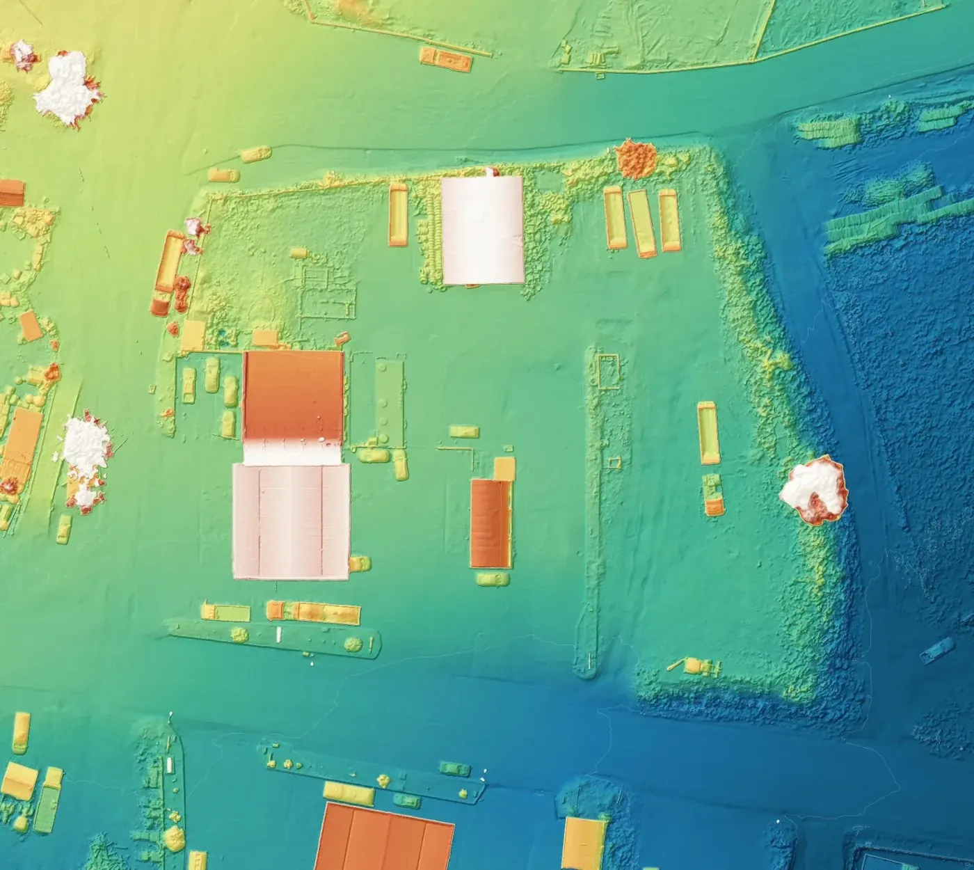
Surface model
Levels and slopes for grading, paving and drainage.
-
Topographic drawing
Drawing base for the station design and its permitting.
If you have a similar project in Spain
Ask for the plan in ETRS89 and your UTM zone, as layered DWG or DXF, with the extent widened to the surroundings your design needs (accesses, road, visible utilities), and the orthophoto as GeoTIFF or ECW with its GSD. To quote, we need the plot perimeter as KMZ, the margin of surroundings to include and the features that must appear on the plan.