What the project needed
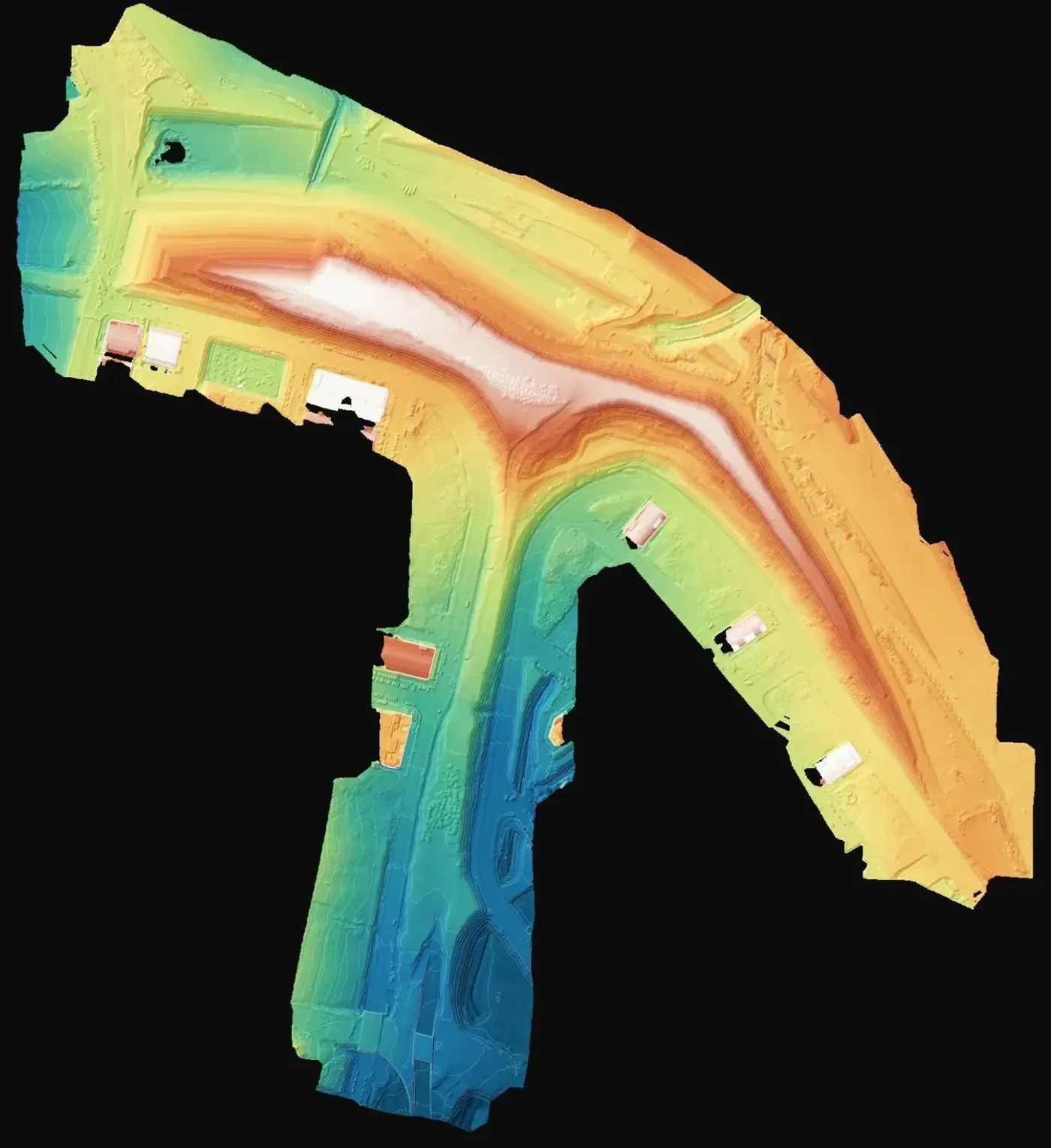
An active fill changes every week. To certify what has been placed and plan what remains up to the design level you need both a defensible volume and a current spot height plan, both referring to the same moment.
Why a prismatic calculation on the surface model
The prismatic method divides the surface into vertical prisms and sums the volume of each between the current surface and the reference, inside the fill boundary. It is transparent and repeatable: any engineer can redo it with the same model and the same outline. Photogrammetry at 1.8 cm gives the density needed for that model to capture edges and slopes properly. As a general rule, on bare fill imagery is sufficient and LiDAR is not required.
What was delivered
Three files answering the volume, the level and the visual state of the fill.
-
Volume calculation
Figure of material placed, for certificates and site control.
-
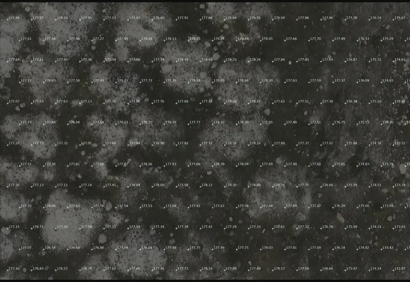
Spot height drawing (NetCAD, DXF)
Current level of the fill to compare with the design level.
-
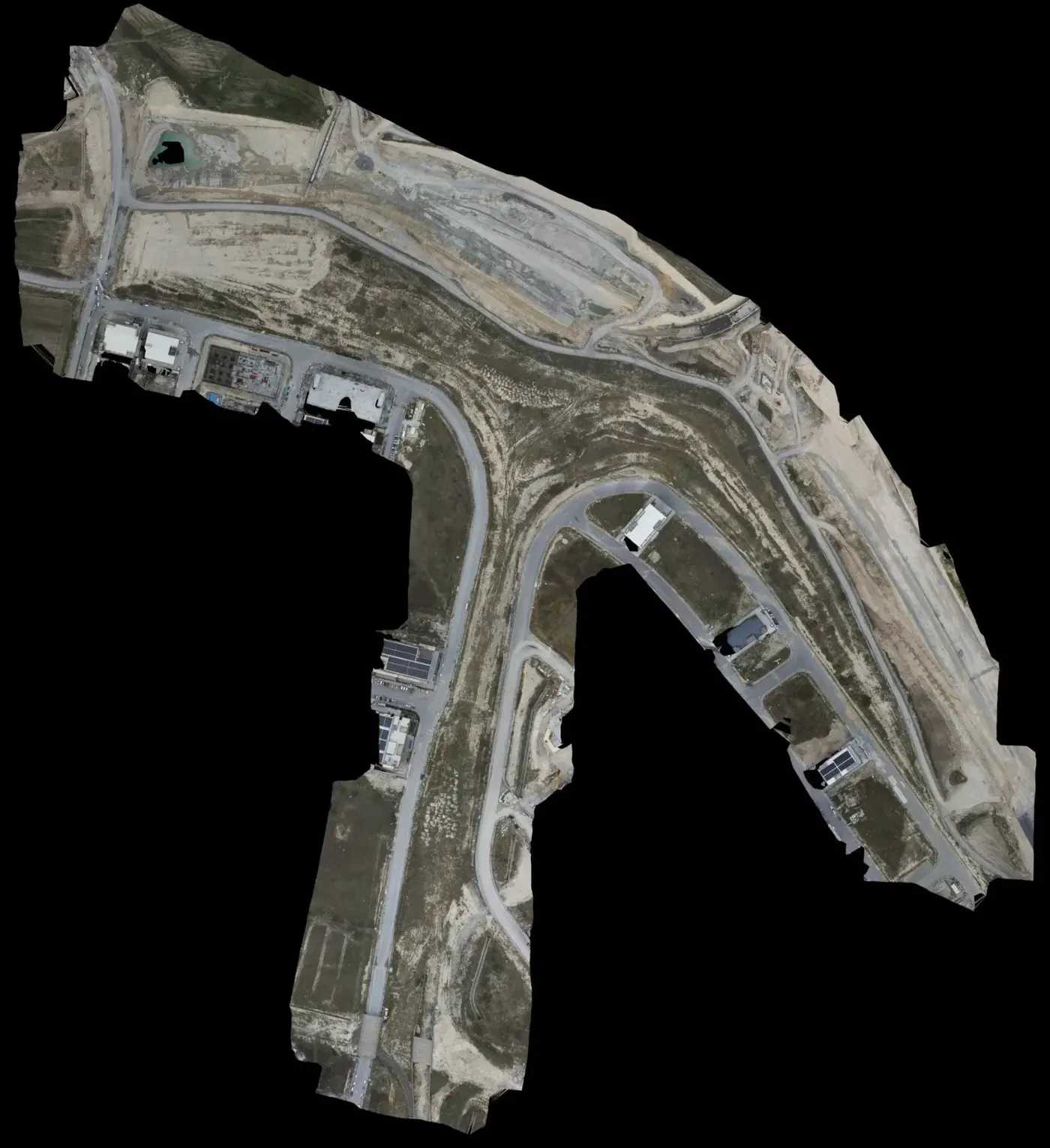
Orthophoto (ECW)
Georeferenced image of the fill as it stood on the flight date.
If you have a similar project in Spain
Ask the calculation to state the fill outline and the reference surface used, and for heights and orthophoto in ETRS89 and your UTM zone, as DXF or DWG and in a raster your software opens (GeoTIFF or ECW). To quote, we need the fill perimeter as KMZ, whether an earlier survey or flight exists and how often you want to repeat the check.